
Packrafting in Queensland
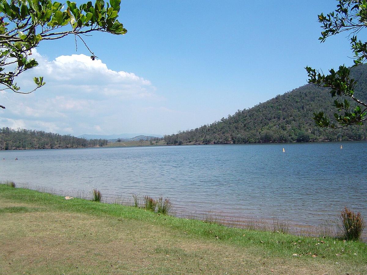
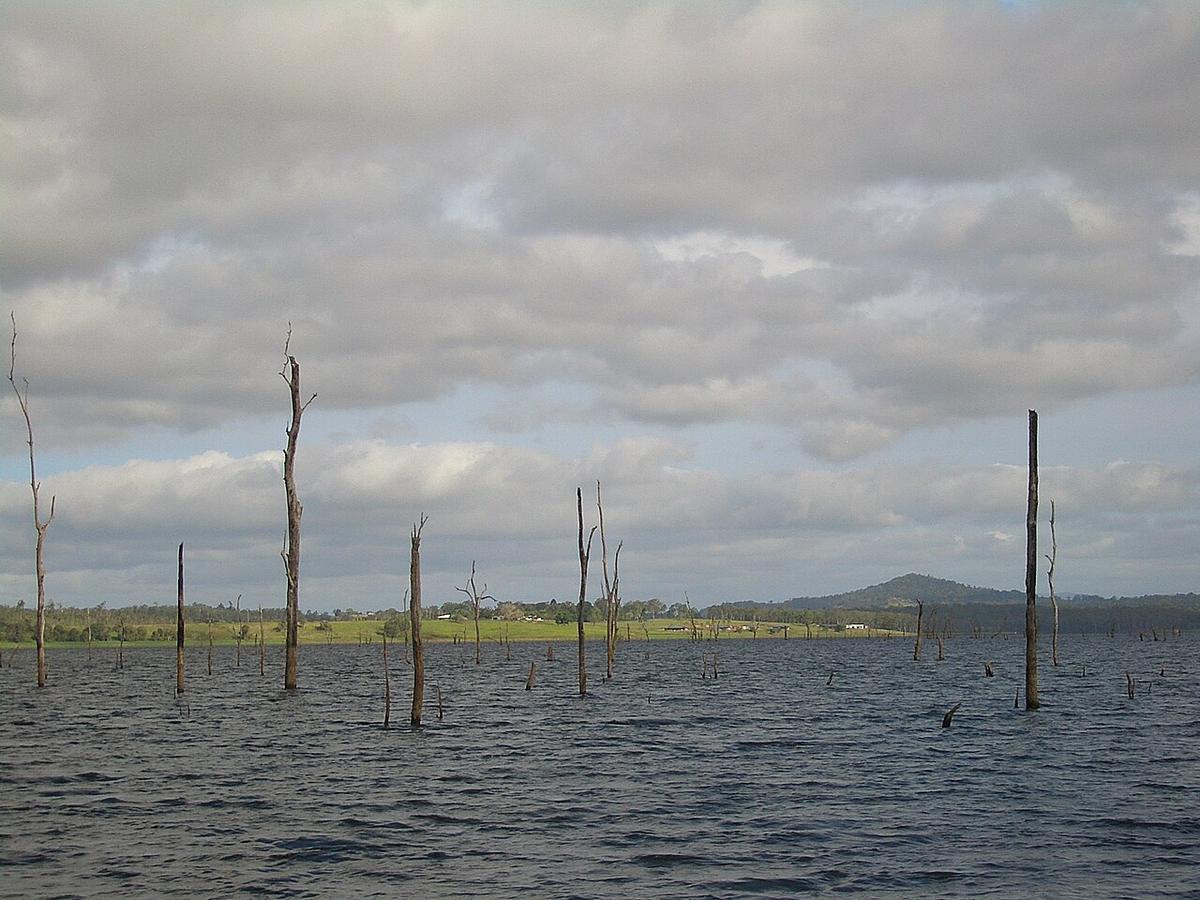
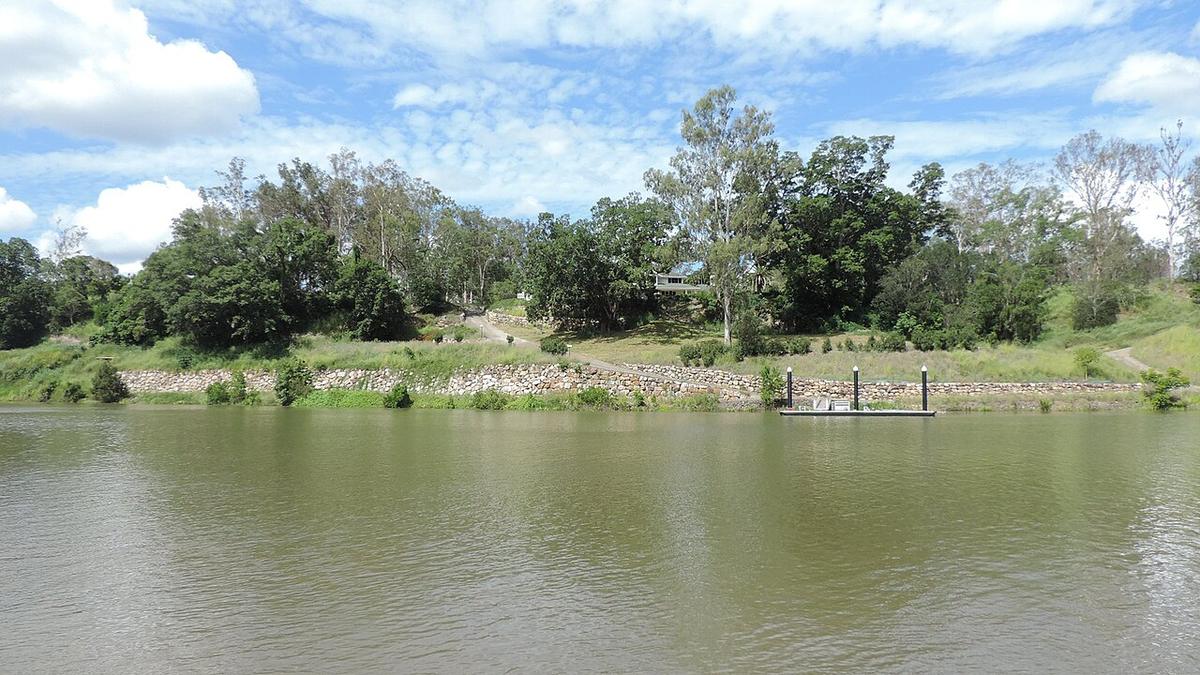
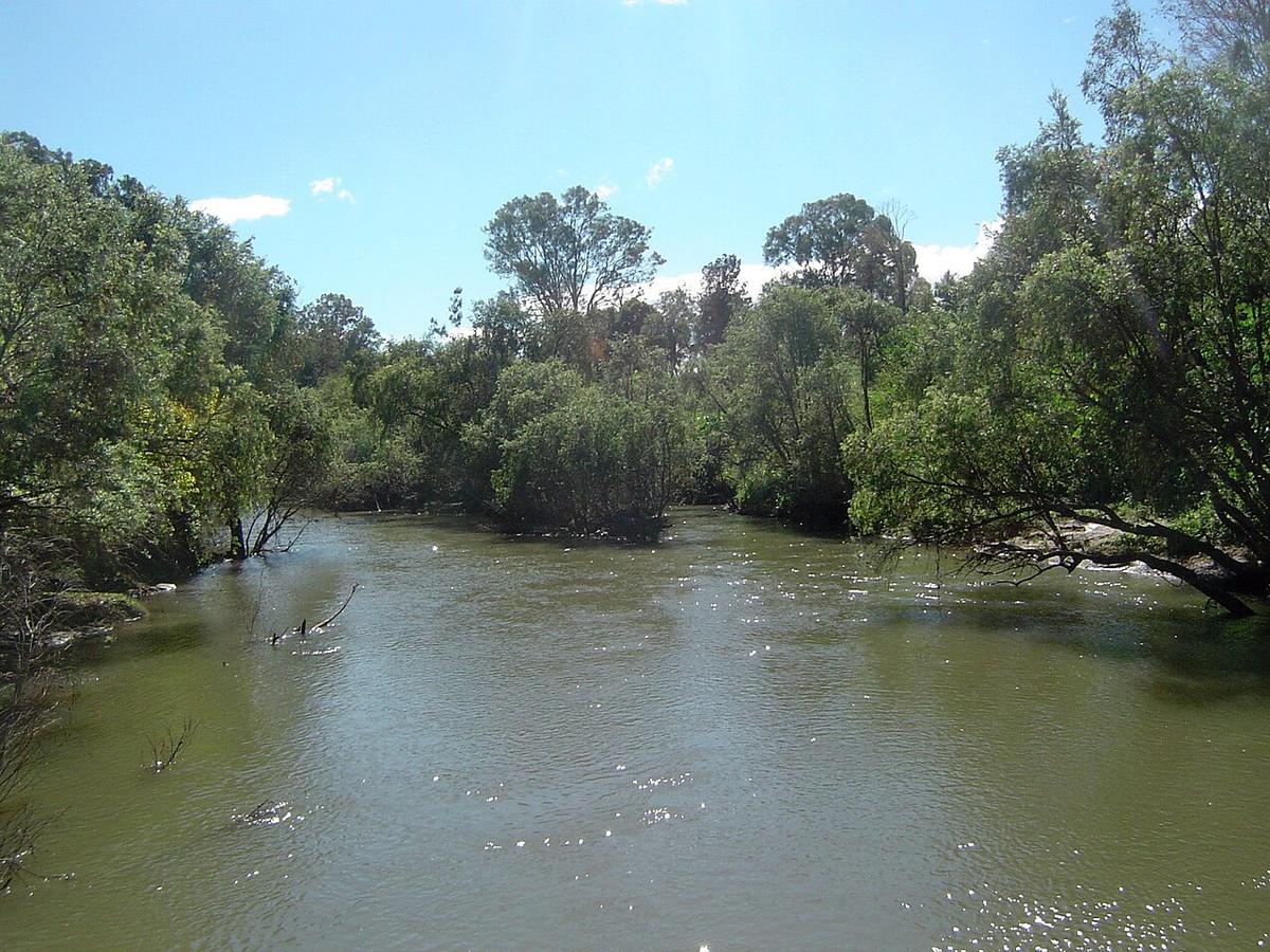
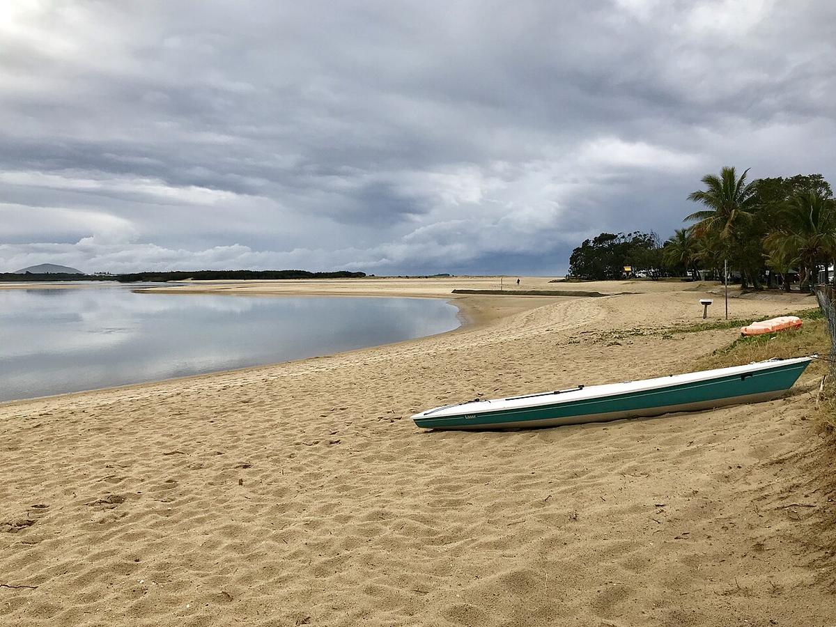
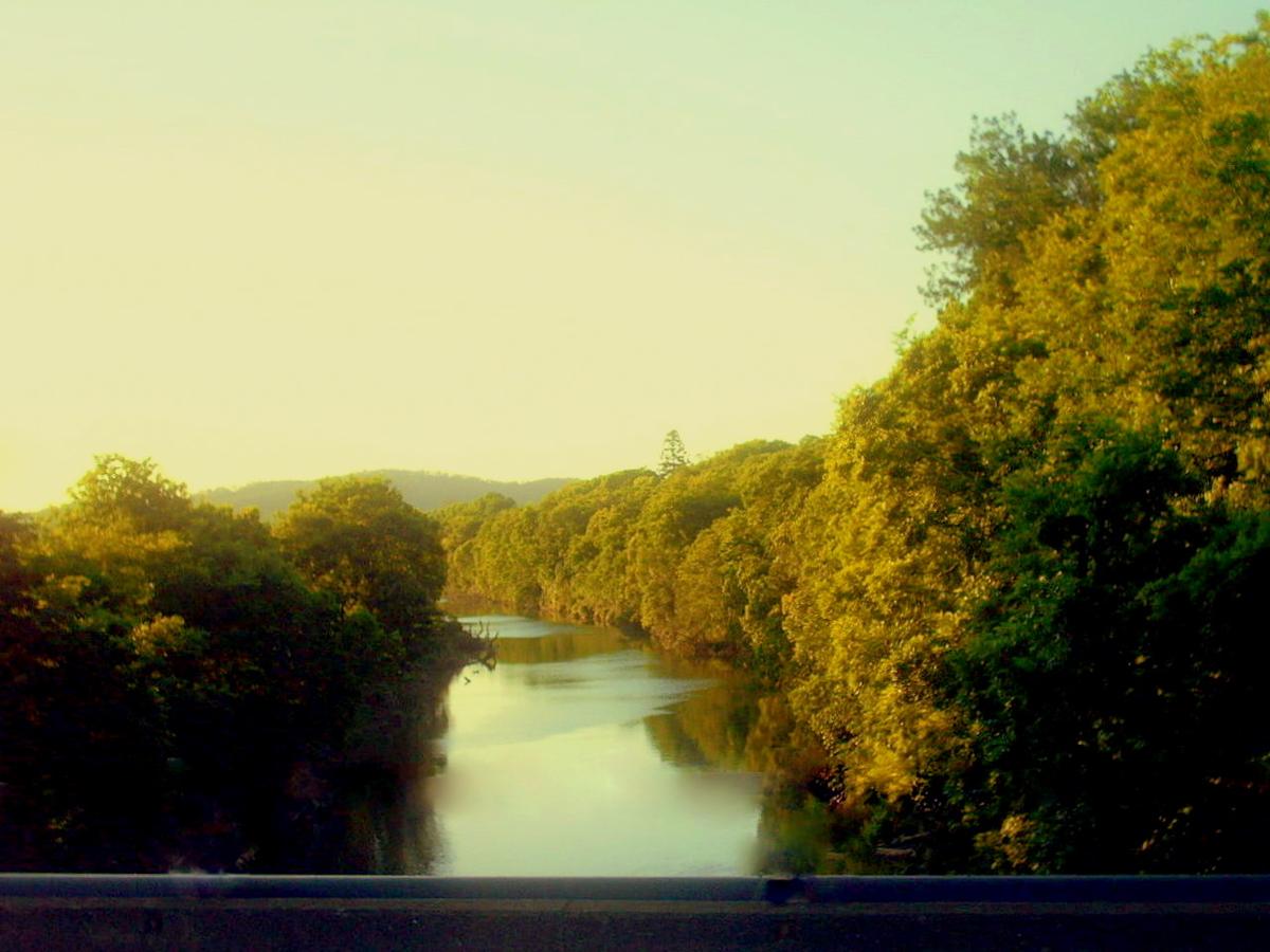
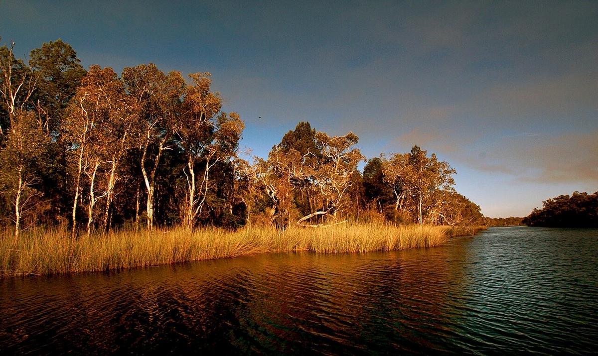
The Queensland flat-water centrepiece is the upper Noosa River, better known as the Noosa Everglades. The water is stained dark amber by the wallum heathland it drains, and on a still morning it holds a reflection sharp enough to fool a camera.
Trip guides in Queensland
7 trip guides
About paddling in Queensland
The route runs up through Lake Cootharaba into the narrowing river inside Great Sandy National Park, with campsites strung along the upper reaches. Permits and camp bookings are managed by the park, so the trip takes planning rather than luck. The paddling itself is calm and unhurried, which is exactly what a touring packraft is for. Heat is the hazard to respect: start early, carry water, and treat the afternoon sea breeze on the lake crossing with caution. A Seeka Solo, Tourer or Duo all suit this water.
The Noosa Everglades in numbers
The Upper Noosa River waterway runs 27.7 km one way, from Lake Cootharaba north into the Noosa River system. Queensland Parks suggest allowing about five hours of paddling for the full run.
Launch from the Elanda Point car park, reachable in a 2WD. Kinaba Information Centre is 4.5 km across the lake. From there the river carries you past Fig Tree Point and Harrys Hut to a chain of numbered campsites running up to campsite 15.
Cross Lake Cootharaba early in the morning, when it is most likely to be calm, and stay close to the shoreline as you head north. Past campsite 3, motorboats must run on electric motors, so the upper reaches stay peaceful.
Camping permits and park rules
Book your Upper Noosa River campsite online with Queensland Parks before you launch. Advance bookings are recommended for holiday periods.
Upstream sites such as campsite 4 are river-access camping for canoes, kayaks and electric-motor boats only. Mobile coverage is generally not available, so download your booking and tell someone your plan before you launch.
Look after the riverbanks. Land only at defined canoe landing sites or jetties and respect the no-landing zone. Where there are no facilities, tie your packraft up rather than dragging it over the fragile sedges. Treat all water before you drink it.
Park alerts cover jetty works, pest control and access changes in Cooloola. Read them the week you go.
Seasons, storms and heat
Plan around summer storms and the official tropical cyclone season, which runs from November to April. Queensland Parks warn that during and after heavy rain, creeks can rise fast with strong currents, and that park waters are not patrolled.
Whatever the season, start early, carry plenty of water, and be off the open lake before the afternoon breeze builds.
Crocodile country starts at Gladstone
Estuarine crocodile habitat begins near Gladstone and runs north to the Torres Strait, across Cape York and through the Gulf of Carpentaria. The Queensland Government says crocodiles can be in any waterway, and the sea, in that area.
Its advice for boaters is direct: avoid kayaks, paddleboards and other small craft in crocodile habitat, because the smaller and less stable the craft, the greater the risk. Never bring any craft within 10 metres of a crocodile.
That makes the south-east the place for a packraft. Noosa, the Brisbane River, the Maroochy and the Mary all sit well south of Gladstone, and the trip guides on this page cover them.
Official links
Rules, closures and fees change. Check these before every trip.
- Upper Noosa River waterway (Queensland Parks) (opens in a new tab)
- Upper Noosa River campsite 4: access and bookings (opens in a new tab)
- About Cooloola Recreation Area (opens in a new tab)
- Water safety in Queensland parks (opens in a new tab)
- Be Crocwise (Queensland Government) (opens in a new tab)
- Boating in crocodile habitat areas (opens in a new tab)
- Tropical cyclone climatology (Bureau of Meteorology) (opens in a new tab)
Pick your Seeka
Not sure which one is yours? See the three side by side.