
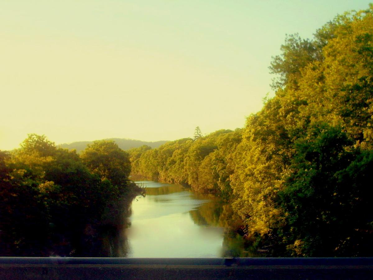
The Mary River rises in the ranges behind the Sunshine Coast hinterland and runs north through Kenilworth, Gympie, Tiaro and Maryborough to the Great Sandy Strait. Through the Kenilworth and Gympie country it is a winding rural river of long pools, gravel runs and deep, tree-lined banks.
It is a working valley of dairy, cattle and small towns, and the river threads through all of it, mostly out of sight of the road.
A river of pools and runs
At normal flows the upper and middle Mary is a string of long, slow pools linked by short shallow runs over gravel and rock. You paddle the pools, and you float, bump or walk the runs depending on how much water is in it.
The banks are high and steep in many places, lined with river oaks, figs and lantana. Getting in and out away from established access takes some searching.
Endangered neighbours
The Mary is home to the Mary River turtle, which is found nowhere else, and to the endangered Mary River cod. The Australian lungfish lives here too.
The turtles nest on sandy banks, so keep off exposed sand and gravel bars in the nesting season, and do not disturb any wildlife you find. Leave the river as you found it.
Floods come fast
Gympie is known for its floods, and the Mary can rise quickly and a long way after heavy rain across the catchment. A flood also rearranges the river. Trees come down, gravel moves, and banks slump.
Fallen timber is the main hazard at any level. Snags collect on bends and at the tail of runs, and the water through them is faster than it looks. Look ahead, get out to scout anything you cannot see through, and portage when in doubt.
Sections and access
Around Kenilworth the river is smaller and closer to its source, with clearer water over gravel after a dry spell. Between Kenilworth and Gympie it grows, with bigger pools and longer gaps between road crossings. Below Gympie it widens and slows on its way to the tidal reaches near Maryborough.
Road bridges and low-level crossings give most of the access. Treat every causeway and low crossing as a portage, because water flowing over or through one can pin a craft against it.
Much of the frontage is private farmland. Use public reserves and road reserves, and ask before crossing a paddock. Sunshine Coast Council and Gympie Regional Council can tell you about public access points on their stretches.
Levels and timing
Autumn through spring usually gives the most pleasant paddling, with fewer storms and milder heat. In a long dry spell the runs get shallow and scrapy, and some pools turn stagnant. Summer storms can lift the river overnight.
Check recent rainfall and Bureau of Meteorology river information before you commit to a section, and give the river a few days to settle and clear after a rise.
Practical notes
Mobile coverage drops away in the deeper parts of the valley. Carry a map, plenty of water and a way to call for help.
Wear a buoyancy vest, tell someone your plan, and set a time to call when you are off the water.
Where a Seeka fits
The long pools of the Kenilworth and Gympie country, at a settled normal level, suit a Seeka well. Paddle the flat, hop out at the shallow runs, roll it up at the next bridge. The Mary in flood or rising after rain is not packraft water.