
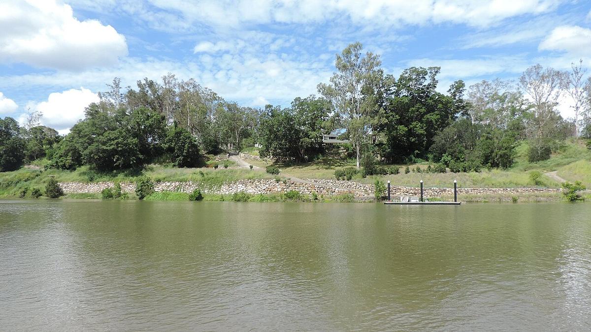
The Brisbane River runs out of the ranges north-west of the city, through Wivenhoe Dam, and down a long farming valley past Fernvale and Lowood before it turns tidal and winds through Brisbane to Moreton Bay. The stretch below the dam is the part worth a packraft.
Up here the river feels a long way from the city. Grassy banks, big eucalypts, cattle country and slow green pools, all within an hour or so of the CBD.
A regulated river
Below Wivenhoe the flow is set by the dam as much as by the weather. Seqwater manages releases, and a release can lift and speed up the river within hours, turning an easy float into fast brown water with debris in it.
Check Seqwater for current and planned releases before every trip, not just the first one. Rain in the Lockyer Valley can also lift the river below the Lockyer Creek junction even when the dam is holding.
The mid-river below the dam
Between Wivenhoe and the weir at Mount Crosby the river runs through the Somerset and Ipswich areas as a series of pools and gentle riffles over gravel and sand. At normal flows it is friendly water for a day trip, with the pace set mostly by your paddle.
Crossings and road bridges give several access points along the valley. Some are public reserves with parking, others sit beside private land. Somerset Regional Council, Ipswich City Council and Brisbane City Council can tell you which are open and where launching is allowed.
Hazards to plan for
Fallen timber is the main one. Trees come down after every flood and settle on the outside of bends and against bridge pylons. Look well ahead and get out to scout anything you cannot see through.
Weirs and causeways cross the river in places. Treat every one as a portage, and never paddle over or through a weir.
After rain the water can carry high bacteria levels and floating debris. Give it a few dry days before you go, and keep cuts covered.
The tidal river
Below Mount Crosby the river becomes tidal and gradually busier, with ferries, rowing crews and private craft through the city reaches. Bull sharks are well documented in the lower tidal Brisbane River, which is one more reason to keep the city stretches for looking at rather than swimming in.
If you do paddle the upper tidal reaches, time it with the tide, stay out of marked channels and be easy to see.
Levels and timing
Autumn through spring is usually the pleasant window. Summer brings heat, storms and the most chance of a release or flood. After a big wet season the banks can be muddy and changed, and access tracks may be closed.
Look at recent rainfall, Seqwater release notices and Bureau of Meteorology river information before you commit to a section.
Practical notes
Much of the frontage below the dam is private farmland. Use public reserves and established access points, and ask before crossing a paddock.
Carry plenty of water and sun protection. The valley gets hot and there is little shade on the water in the middle of the day.
Wear a buoyancy vest, tell someone your plan, and set a time to call when you are off the water.
Where a Seeka fits
The pools and easy riffles below Wivenhoe, at normal flows with no release running, are a good day in a Seeka. Walk or ride to a put-in, float down, roll it up. The river in flood or during a release, and anything near a weir, are not packraft water.