
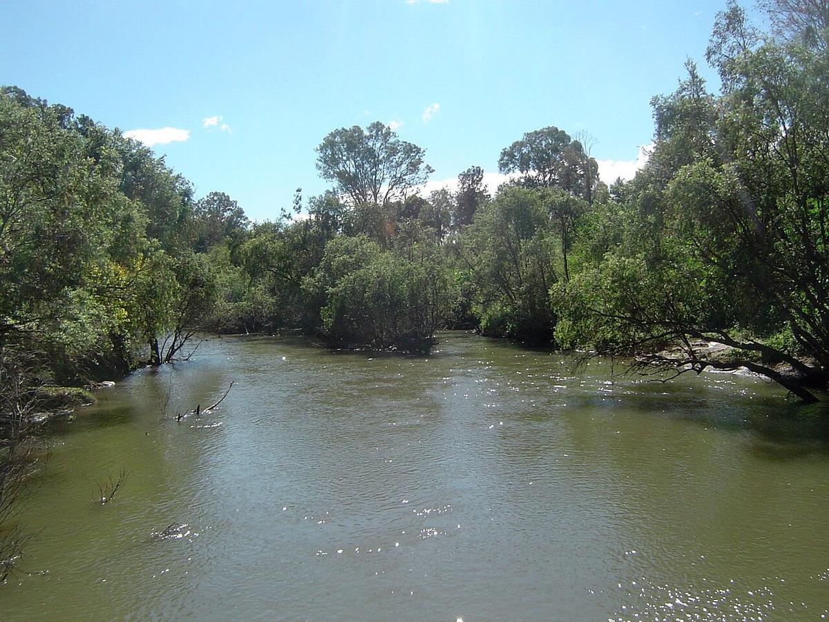
The Logan River rises in the Scenic Rim ranges on the Queensland and New South Wales border and runs north past Rathdowney, Beaudesert and Jimboomba, through Logan City, to southern Moreton Bay. It is a winding rural river for most of its length, turning tidal and wide in its lower reaches south of Brisbane.
It is close to a lot of people and still surprisingly private once you are on it. High banks and thick riparian scrub hide the farms and suburbs on either side.
Two rivers in one
The upper Logan, below the ranges around Mount Barney, is a smaller stream of pools and gravel runs through cattle country. At normal flows you paddle the pools and walk or float the shallow runs between them.
Through Logan City and down towards the bay it becomes a broad tidal river, joining the Albert River before it reaches Moreton Bay. Down here the tide sets the pace, and the paddling is flat and open.
What to watch for
Fallen timber is the main hazard on the freshwater river. Snags gather on bends and at the tail of runs, and floods move them. Look well ahead, get out to scout anything you cannot see through, and portage when in doubt.
Weirs and causeways cross the river in places. Treat every one as a portage. Water flowing over or through a low structure can hold a paddler against it.
Bull sharks live in the lower Logan, as they do in most south-east Queensland estuaries. Avoid swimming in murky water, at dawn and dusk, and after heavy rain.
Floods reshape the river
The Logan floods hard after big rain in the ranges, and has had major floods in recent years. A flood brings down trees, moves banks, and changes a familiar reach into a new one.
Check the Bureau of Meteorology river warnings and recent rainfall before you go. After a rise, give the river several days to drop and clear before you paddle it.
Reaches and access
Road bridges and riverside parks give most of the access on the middle river, around Jimboomba and through the Logan City suburbs. The upper river near Rathdowney is reached from road crossings through farmland.
Much of the frontage upstream is private. Use public parks and road reserves, and ask before crossing a paddock. Logan City Council and Scenic Rim Regional Council can tell you about public access points on their stretches. For boating rules on the tidal river, check with Maritime Safety Queensland.
Tides and timing
On the tidal river, plan around the tide. Paddle up on the flood and return on the ebb, and expect short chop where wind meets a strong tide on the wide lower reaches.
Autumn through spring usually brings the most comfortable conditions. Summer brings heat, humidity and storms that can lift the upper river overnight.
Practical notes
Water quality in the lower river drops after heavy rain as runoff comes down from the catchment. Keep your mouth closed if you go in, and wash your hands before you eat.
Wear a buoyancy vest, tell someone your plan, and set a time to call when you are off the water.
Where a Seeka fits
The long pools of the middle river at a settled level, and the tidal reaches on a calm day, are good Seeka water. The Logan in flood, or rising after rain, is not packraft water.