
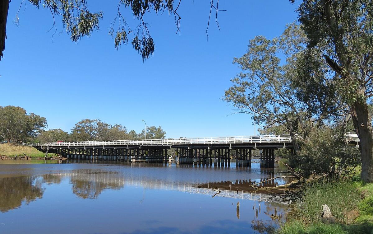
The Swan River is Perth's river. It begins where the Avon meets Wooroloo Brook in the hills north-east of the city, winds through the Swan Valley and Guildford, and widens past the city centre into Perth Water and Melville Water before reaching the ocean at Fremantle. Most of its length is a tidal estuary.
That gives you two very different rivers: a narrow, tree-lined upper Swan through the valley and the old river towns, and a broad city estuary with ferries, yachts and open reaches.
The upper Swan
Above the Causeway, and especially from Maylands up through Bassendean and Guildford into the Swan Valley, the river narrows and bends between paperbarks, sheoaks and river gums. It feels a long way from the city.
This is the most rewarding stretch for a packraft. The water is sheltered, the banks are close, and there are parks and reserves along both sides to launch from. The river keeps its tidal character well upstream, so the current is usually slight.
Above the valley the Swan runs out of the hills through Walyunga National Park. In winter flows that section has rapids and fast water, and it is not a gentle paddle.
The city estuary
Below the Causeway the river opens into Perth Water in front of the city, then into Melville Water, the widest part of the estuary. The Canning River joins at Canning Bridge and has its own guide.
These open reaches are exposed, busy and much harder work in wind. Ferries cross between the city and South Perth, and sailing and rowing clubs use the water daily.
Wind is the deciding factor
The afternoon sea breeze, the Fremantle Doctor, arrives on most summer days and builds a short, steep chop on the wide water. It is much less of a problem in the narrow upper river, which is one more reason to paddle there.
On the estuary, plan to be off the open water by late morning in summer and stay close to shore.
Sharing the Riverpark
The Swan is part of the Swan Canning Riverpark, managed by the Department of Biodiversity, Conservation and Attractions (DBCA). The Department of Transport sets boating rules, including speed limits and areas set aside for powered craft and water skiing. Check the current boating guides for the reach you plan to paddle.
Keep clear of channels, ferry routes and moorings, and be visible. A bright top and a flag help on the wide water.
Wildlife and water quality
Dolphins use the estuary, and bull sharks are recorded in the river, including well upstream. Avoid swimming in murky water, particularly around dawn and dusk.
Algal blooms occur in the Swan, mainly in warm, still conditions. DBCA publishes algal bloom and water quality alerts for the Riverpark. Check before you go and avoid contact with discoloured water.
Practical notes
Trains run close to the river at Guildford, Bassendean and Maylands, so a one-way paddle downstream with a train back is simple to set up. Local councils manage many of the foreshore reserves and can tell you about parking and launching.
Wear a buoyancy vest, tell someone your plan, and set a time to call when you are off the water.
Where a Seeka fits
The upper Swan from the Swan Valley down to Maylands is excellent Seeka water. Catch a train, walk to the river, and paddle home on the tide. Perth Water and Melville Water in a sea breeze, and the Walyunga rapids in winter, are not.