
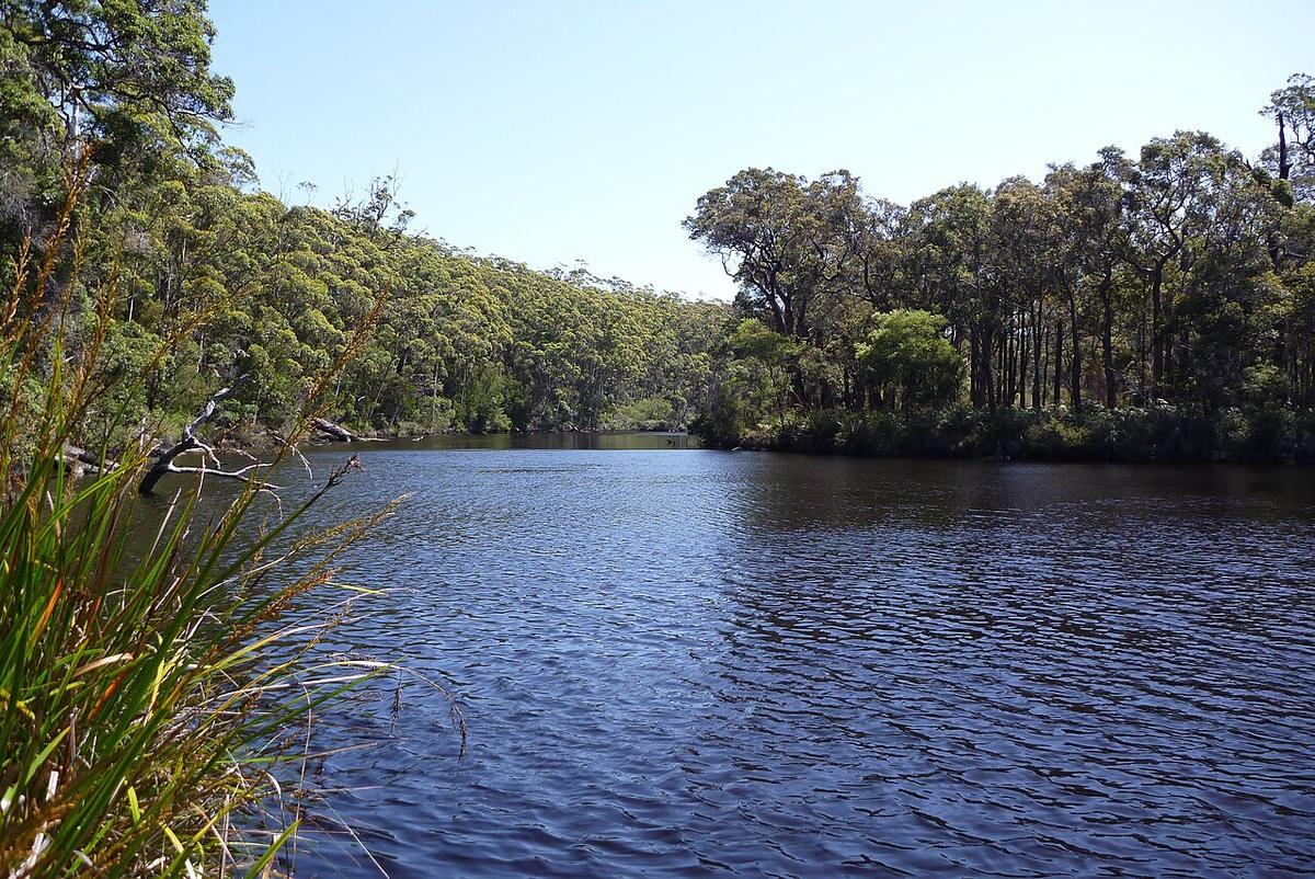
The Frankland River runs south through the tall forests of Walpole-Nornalup National Park on the south coast of Western Australia and empties into Nornalup Inlet near the small settlement of Nornalup. Its lower reaches are slow, dark and forest-lined, and they lead straight into one of the most sheltered inlet systems on that coast.
Tannin water under the tingles
The river runs the colour of strong tea, stained by tannin from the peaty country it drains. It is clean, but it hides the bottom, so snags and rocks show up late. Keep your speed down near the banks and around bends.
The forest on either side includes red tingle and karri, some of the tallest trees in the state. The tingles grow only in this small corner of the south west, and paddling beneath them is the main reason to come.
Two rivers, one inlet
The Frankland and the Deep River both flow into Nornalup Inlet, which connects to the smaller Walpole Inlet near the town of Walpole. The inlet then opens to the Southern Ocean through a channel on its southern side.
The inlets are broad and shallow in places, with sand flats and weed beds that change what is paddleable at low water. The mouth and the ocean beyond it are open coast, with swell and currents that have nothing in common with the river.
Wind on the inlet
The south coast is exposed to weather straight off the Southern Ocean. Wind across the open inlet builds a steep chop quickly, and a crossing that was calm at breakfast can be hard work by the afternoon.
On the river itself the forest gives shelter. Out on the inlet, plan crossings for the calmest part of the day, keep close to the shore when the wind is up, and have a way back that does not depend on the forecast holding.
Sections and access
The lower Frankland, from the Nornalup area down into the inlet, is the flat-water end and the obvious place to start. The South Coast Highway crosses the river at Nornalup, and the inlets can be reached from Walpole.
Further upstream the river runs through more remote forest and can carry rapids and fallen timber when the flow is up. Treat those reaches as a separate undertaking and get current local advice first.
Access points, camping, fishing rules and any restrictions within the national park are managed by the Parks and Wildlife Service of the Department of Biodiversity, Conservation and Attractions. Check with DBCA and the Walpole visitor centre before you go.
Levels and timing
The south coast is wet in winter and spring, and that is when the Frankland runs fullest. The upper river is at its liveliest then. In late summer and autumn flows drop right back and the lower river becomes almost still.
The inlets are there year round. Summer and autumn often bring the settled mornings that make the crossings easy. Winter brings cold water, rain and fronts that roll through with little warning.
Practical notes
Snakes are common in the forest in the warmer months. Watch where you step when landing on grassy banks. Mobile coverage fades quickly once you leave Walpole.
The inlets are shared with anglers and small craft, especially over holidays. Stay visible and keep clear of anyone fishing from the shore.
Wear a buoyancy vest, and leave your trip intentions and a time to call with someone before you head out.
Where a Seeka fits
The slow lower river under the tingles and the sheltered margins of Nornalup and Walpole inlets are exactly Seeka water. Paddle up the river in the morning, drift back down with the day. The upper river in winter flow and the ocean past the mouth are not what a Seeka is built for.