
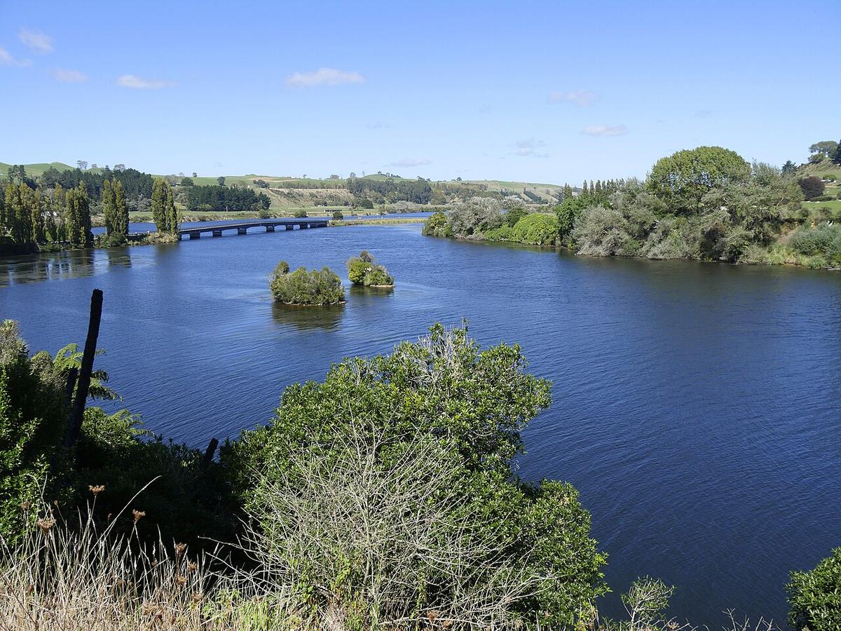
The Waikato River is New Zealand's longest river. It leaves Lake Taupō, runs north through a chain of hydro lakes, flows past Cambridge and Hamilton, and reaches the Tasman Sea at Port Waikato. For a packraft, the interest lies in the hydro lakes such as Lake Karapiro and the broad, steady reaches around Cambridge and Hamilton.
It is a big, managed river, close to towns and roads, and very different from the steep alpine water further south.
A river shaped by dams
Mercury operates a series of hydro stations along the Waikato, and each dam holds a lake behind it. Flows below the dams follow generation, not just rain, and can rise with little warning.
Keep well away from dams, spillways, intakes and the water immediately below them. Treat every dam as a hard boundary. For current flows and lake levels, check Mercury's public information and Waikato Regional Council before you go.
Never the Taupō reaches
Just below Lake Taupō the river pours over Huka Falls and through the Aratiatia Rapids, where water is released from the Aratiatia dam on a schedule. These are dangerous places for any paddler and are not packraft water under any circumstances. Enjoy them from the viewing points.
The hydro lakes
The lakes are long, sheltered valleys of flat water with plenty of edge to follow. Lake Karapiro, the lowest in the chain, is a well-known rowing venue, with regattas and training through much of the year, and it also draws water skiers and powered craft.
Keep to the edges, stay clear of marked rowing lanes and ski areas, and check for events before you launch. Early mornings are usually the calmest and least busy time on the water.
Cambridge to Hamilton
Below Karapiro the river runs deep and steady between high banks through Cambridge and Hamilton. It looks calm, but the current is continuous and stronger than it appears, with swirls around bridge piers and snags along the edges.
Plan your put-in and take-out before you start, because steep banks limit where you can get out. The Te Awa cycleway follows the river between Hamilton and Cambridge, which makes a ride-and-paddle day simple. Ride to the start, paddle down, ride back.
Levels and water
Heavy rain in the catchment raises the river and fills it with debris. Combined with dam releases, that can turn a steady river into a fast, cold one within hours. Check flows on the day, not the day before.
The Waikato carries natural geothermal minerals, including arsenic, from the Taupō Volcanic Zone. Do not drink it untreated. Water quality can also drop after rain, so check Waikato Regional Council advice before swimming.
Practical notes
The river holds deep significance for Waikato-Tainui and other iwi along its length. Treat it and its banks with respect, and use public reserves and ramps for access. For reserves and conservation land, check with DOC and the local district council.
Wear a buoyancy vest, leave your trip intentions with someone, and set a time to check in when you are off the water.
Where a Seeka fits
The sheltered edges of the hydro lakes on a still morning, and a planned run on the steady reaches near Cambridge and Hamilton at normal flow, suit a Seeka. The Taupō reaches, water near any dam, and the river in flood are not what a Seeka is built for.