
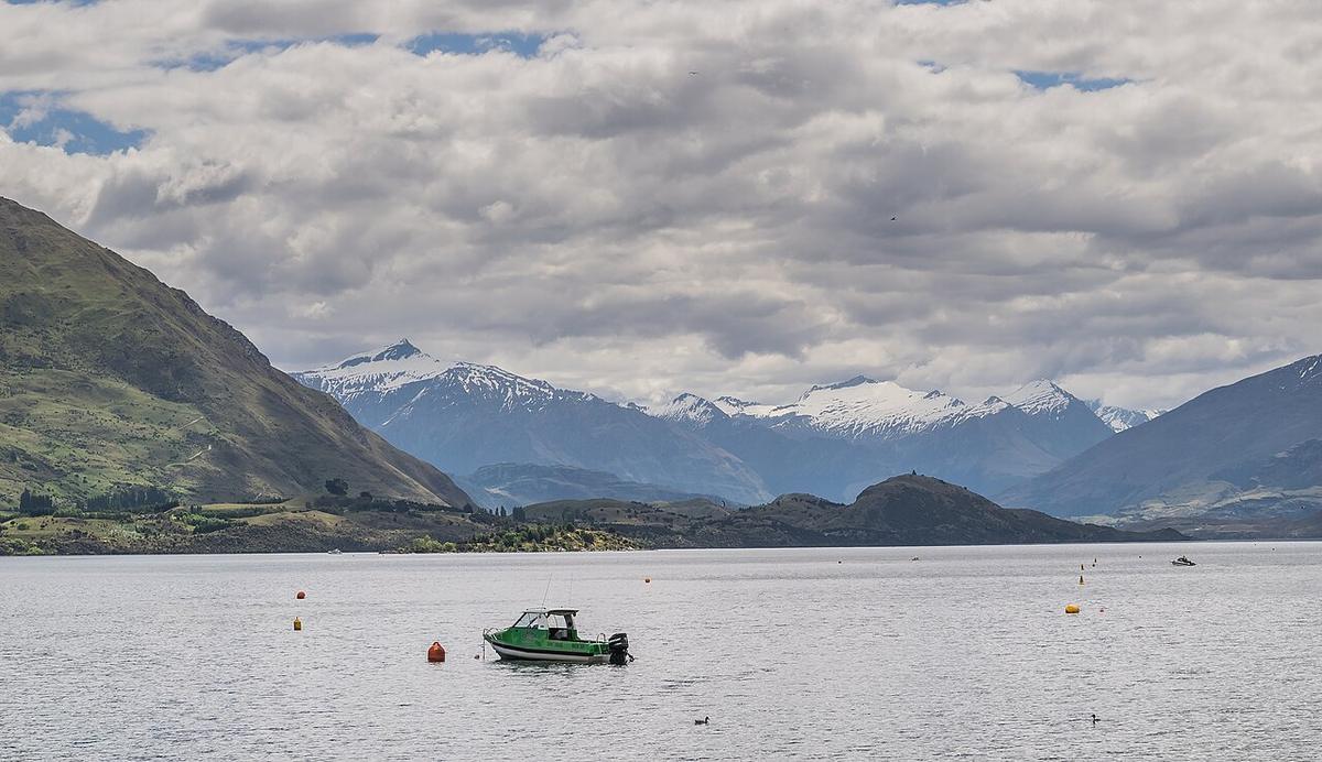
Lake Wānaka is a long, deep glacial lake in the Otago high country, ringed by mountains, with the town of Wānaka on its southern shore. The Makarora and Matukituki rivers feed it, and the Clutha Mata-Au drains it from an outlet near Albert Town. On a still morning it offers big-country paddling within walking distance of a café.
It is also a large, cold, wind-prone lake. The same water that sits glassy at dawn can be whitecapped by early afternoon.
Cold, clear and deep
Snowmelt and mountain rivers feed the lake, and the water stays cold all year, even when summer air temperatures in the Wānaka basin are high. A warm bank tells you nothing about the water.
Dress for immersion, not for the weather. Carry a windproof layer and a dry set of clothes in a dry bag, and treat a capsize well offshore as a serious event.
Wind on the lake
Wind is the main variable on Lake Wānaka. Northwesterlies funnel down the lake from the mountains, and afternoon wind is common in settled weather. Because the lake is long, waves build over a big distance of open water.
Plan to paddle early, keep to the shoreline, and turn for home at the first sign of the wind lifting. A crossing that looks short from the beach can take far longer against a headwind. Check the forecast for the lake itself, and watch the sky over the mountains to the north.
Roys Bay and the shoreline
Roys Bay, in front of the town, is the easy launch. There is public foreshore along the lakefront, and you can follow the shore in either direction with the bank always close.
Other bays around the lake, such as Glendhu Bay, give more sheltered options depending on wind direction. The islands in the lake are conservation land. Check with DOC before landing on any of them, and follow any rules for visiting.
Lake Wānaka is busy in summer with jet skis, powered craft and water skiers. Stay visible, stay close to shore, and keep clear of marked areas and moorings.
The Clutha outlet
Where the lake drains into the Clutha Mata-Au, the water accelerates. The current picks up well before the river proper begins, and the Clutha is a high-volume, fast, cold river that is not a place to end up by accident.
Keep well clear of the outlet when paddling the lake. If you are planning to paddle the Clutha itself, read our Clutha River guide first and talk to local paddlers.
Biosecurity and rules
Didymo is present in South Island waterways. Check, clean and dry your packraft, paddle and gear before you arrive and every time you move between waterways. It keeps didymo and other freshwater pests out of the lake.
Queenstown Lakes District Council sets the navigation rules on the lake, including speed zones near the shore. Check them before you go.
Practical notes
Wear a buoyancy vest, leave your trip intentions with someone, and set a time to check in when you are off the water.
Where a Seeka fits
Early mornings along the shoreline of Roys Bay and the sheltered bays, launched from the beach, are good Seeka days. Open crossings in wind, and anywhere near the Clutha outlet, are not what a Seeka is built for.