
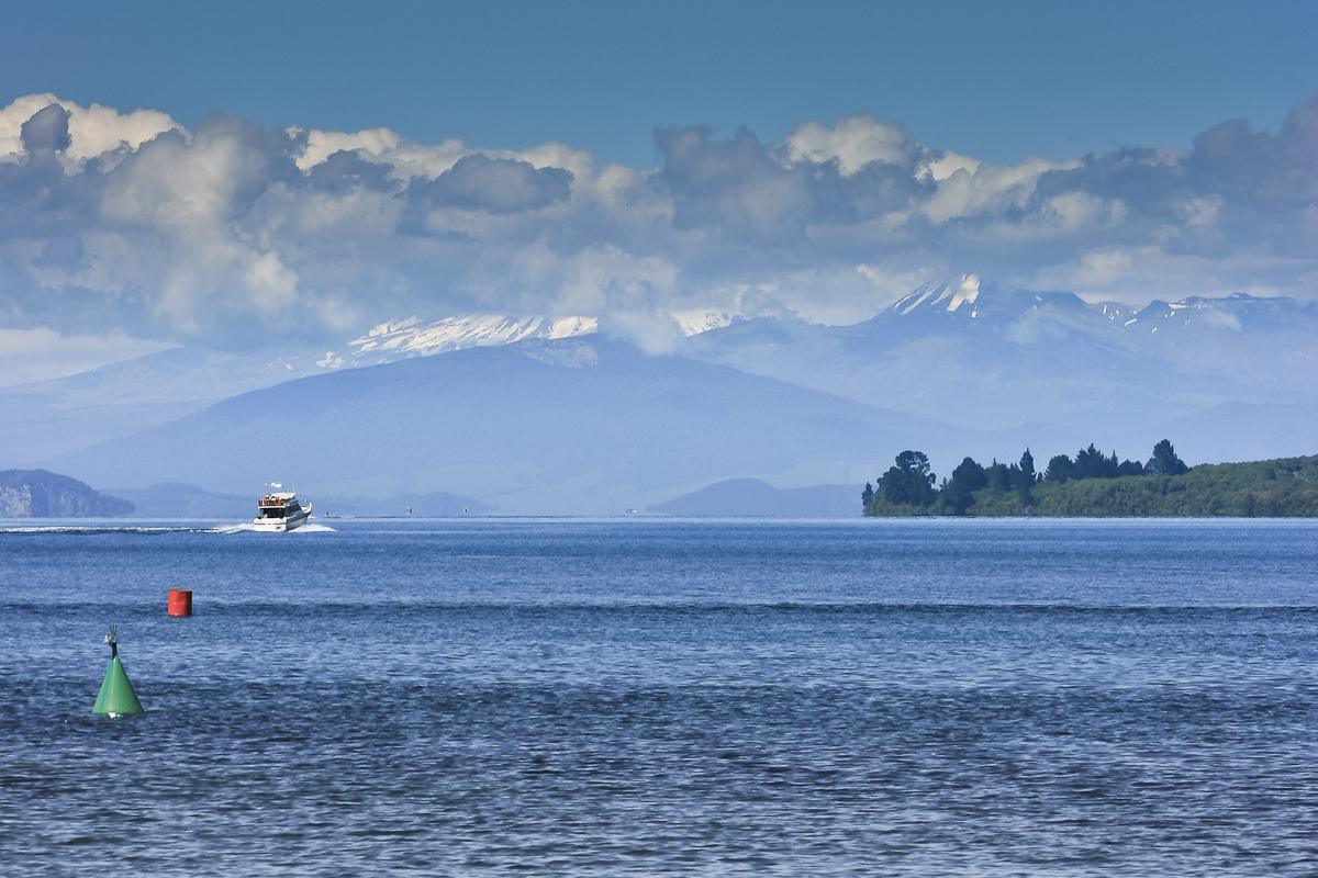
Lake Taupō fills a volcanic caldera in the centre of the North Island of New Zealand. It is the largest lake in the country, fed by the Tongariro River and other streams from the south and drained by the Waikato River at the town of Taupō, with the volcanoes of Tongariro National Park on the southern skyline.
It is closer to an inland sea than a lake. The scale sets the rules for paddling it: stay close to shore, pick your day, and treat every open crossing with suspicion.
An inland sea
The lake is wide enough that the far shore can disappear in haze. Wind has a very long fetch across it and builds real waves, steep and close together, in a short time.
Conditions can differ completely between one side of the lake and the other. A sheltered bay on the lee shore can be calm while the open lake is white with chop.
Wind from any direction
Taupō gets wind from every quarter, and it can swing and strengthen within an hour. Afternoons are often windier than mornings.
Check a marine or lake forecast, not just the town weather, and plan to be off the water before the wind builds. If waves start breaking around you, head for the nearest safe shore rather than pushing on to your planned finish.
Cold and deep
The lake is deep and stays cold for much of the year, even when the air is warm. Falling in far from shore is a serious situation.
Dress for the water temperature, carry a warm layer and a dry change of clothes in a dry bag, and paddle with at least one other person.
Stay away from the outlet
The lake drains into the Waikato River at the northern end, right beside Taupō town. Current near the outlet pulls towards the river, and the Waikato downstream runs fast, cold and deep to Huka Falls.
Stay well clear of the outlet and the start of the river. Launch and paddle elsewhere on the lakefront, and never let the wind push you towards it.
Bays and shoreline
The lake has many bays, beaches and reserves around its shore, from Taupō and Acacia Bay in the north to Kinloch in the north west and Tūrangi near the southern end. Short paddles along the shoreline of a sheltered bay are the practical way to enjoy it.
Some features, including the rock carvings at Mine Bay, are best reached by water. Check current guidance before visiting, and keep well out of the way of the cruise vessels and jet boats that also use those spots.
Rules and respect
The lakebed belongs to Ngāti Tūwharetoa. Navigation on the lake is managed by a harbourmaster, with rules on speed zones, lifejackets and sharing the water with other users. Check the current navigation bylaws before you go.
Trout fishing on the lake needs a Taupō fishing licence from the Department of Conservation. Wear a lifejacket, leave your trip intentions with someone ashore, and carry a waterproof means of calling for help.
Where a Seeka fits
A calm morning paddle along the shore of a sheltered bay is the kind of day a Seeka is made for. Open crossings of the main lake, and anywhere near the Waikato outlet, are not.