
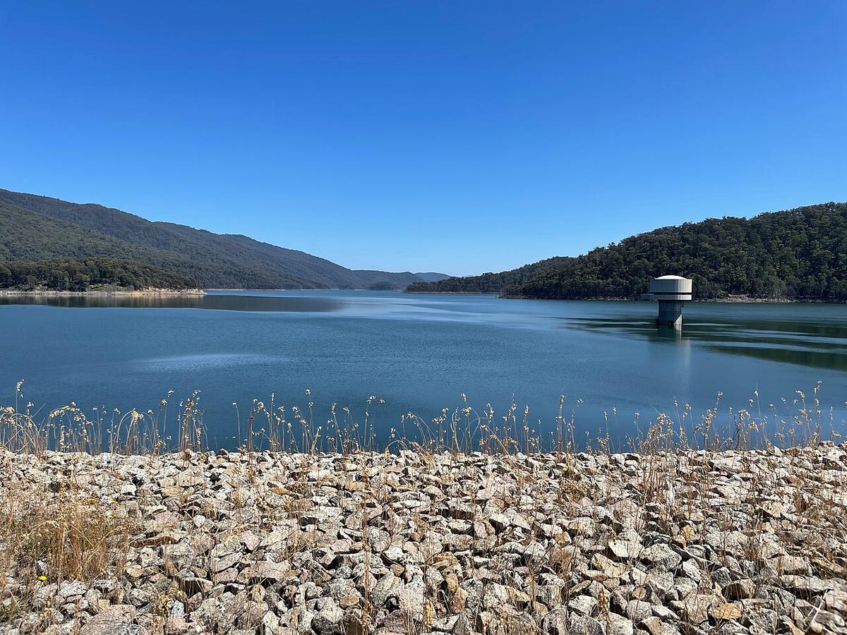
The Thomson River rises on the Baw Baw plateau in Gippsland, fills the Thomson Reservoir, then drops through steep forested country near Walhalla before easing out onto the plains around Cowwarr and Heyfield and joining the Macalister and Latrobe systems near Sale. It is a mountain river in its upper half and a lowland river in its lower half.
Which half you paddle decides everything about the trip.
A regulated river
Thomson Reservoir is Melbourne's largest water storage. Most of the upper river's flow is held behind the dam, and what comes down the valley depends on releases rather than rain alone.
Releases for environmental flows and other purposes can lift the river well above its usual level, and change it over a few hours. Check with Melbourne Water and the West Gippsland Catchment Management Authority for planned releases before you commit to a section.
The gorge country
Below the dam the Thomson runs through a deep, steep valley in the Walhalla area. This reach has rapids, boulder gardens and long stretches with limited ways out. It is paddled as a whitewater trip by experienced parties who know it.
Treat the gorge as whitewater country. If you want to see it, walk the tracks around Walhalla and look down on it.
The lower river
Once the Thomson reaches the plains near Cowwarr and Heyfield, the gradient falls away. The river winds between farmland, willows and red gums, with gravel runs between slower pools.
This is the part that suits a relaxed day. Moving water with bends to read, rather than rapids to run.
Willows and fallen timber are the main hazards here. They form strainers on the outside of bends and at the head of gravel bars. Look well ahead, keep your speed down into blind corners, and walk around anything you cannot see through.
Weirs and infrastructure
The lower Thomson carries water for irrigation, and there are weirs and diversion structures on the river. Water pouring over a weir can form a recirculating stopper at the base that holds a swimmer.
Get out well above any weir and portage around it. Never paddle over one.
Levels and timing
Base flows on the lower river are shaped by the dam and by irrigation demand, so the river can be higher in a dry summer than you might expect, and lower in spring. Gauge data and release notices tell you more than the local rainfall.
Water coming out of a deep reservoir can be cold, even in summer. Dress for a swim.
Practical notes
The Thomson passes through state forest, parks and private farmland. River frontage on the plains is often private, so use public access points and ask permission before crossing land. Check current access with Parks Victoria and the local council.
Mobile coverage is limited in the valleys. Wear a PFD, tell someone your plan, and set a time to call when you are off the water.
Where a Seeka fits
The lower river around Heyfield on a steady flow, and the flat water of smaller storages nearby, are good days out in a Seeka. The gorge below the dam is whitewater, and not what a Seeka is built for.