
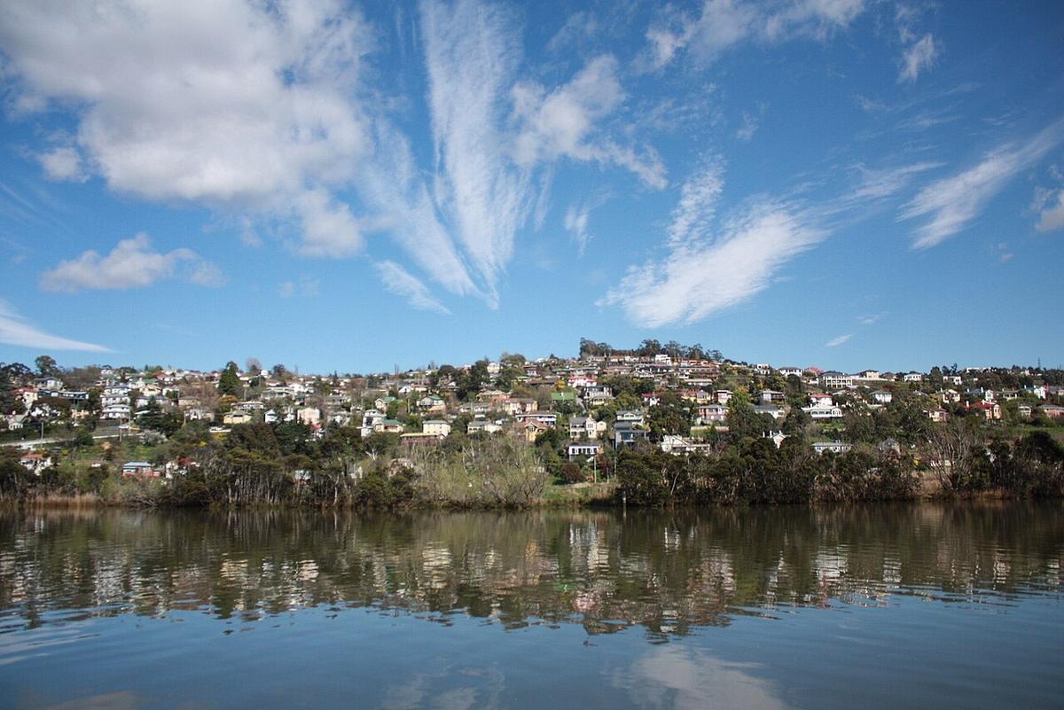
The Tamar River, kanamaluka, is a long tidal estuary in northern Tasmania. It begins at Launceston, where the North Esk and South Esk rivers meet, and runs north between farmland, vineyards and small towns to Bass Strait near George Town and Low Head.
For most of its length it is salt or brackish water that rises and falls with the sea. That makes it a tide-and-wind paddle rather than a river run, and planning around the tide is most of the job.
A river that breathes with the tide
The tidal range on the Tamar is large, and it reaches all the way up to Launceston. The same shore can be deep water at the top of the tide and a wide stretch of mud a few hours later.
Tidal streams run hard in the narrower reaches. Paddling against a full ebb in a small craft is slow and tiring. Riding it is fast. Check the tide times for the reach you plan to paddle, not just for the heads, because the timing shifts as you move up the estuary.
Mud flats around Launceston
The upper estuary is known for its silt. At low water the banks near the city turn into soft mud that can be deep enough to trap a person on foot.
Launch and land near the top of the tide in this part of the river, and plan your finish so you are not left facing a long slog across the flats. Do not try to walk out across mud to reach the water.
Cataract Gorge and the South Esk above the confluence are a different proposition altogether. That is moving river water in a rocky gorge and is outside the scope of this guide.
The reaches downstream
North of Launceston the estuary widens. Tamar Island Wetlands sit on the western bank close to the city, and the reaches past Legana, Rosevears and Deviot are wider and more open, with reed beds and sheltered bays.
Towards Bell Bay and George Town the estuary is a working port with commercial shipping, and the heads open to Bass Strait. The lower estuary and the heads are exposed water and not packraft country.
Wind up the valley
The Tamar runs roughly north to south, and wind funnels along it. Sea breezes pushing up the valley in the afternoon are common in warmer months.
Wind against an outgoing tide builds short, steep chop quickly in the wider reaches. A calm morning start is the easiest way to avoid it.
Sharing the estuary
Rowing clubs, moorings, marinas, yachts and powered craft all use the river, especially near Launceston and around the marinas downstream. Keep out of marked channels, cross them quickly and at right angles, and stay visible with a bright paddle jacket or flag.
Access and planning
There are public reserves, jetties and boat ramps along both banks. Check current access, parking and any restrictions with the City of Launceston, West Tamar Council or George Town Council, and ask before crossing private land.
The water is cold for much of the year. Wear a buoyancy vest, dress for a swim, and leave your trip intentions with someone who will raise the alarm if you are overdue.
Where a Seeka fits
A tide-assisted run through the sheltered upper and middle reaches, launched on a rising tide on a still morning, is the kind of day a Seeka is built for. The heads and open Bass Strait are not.