
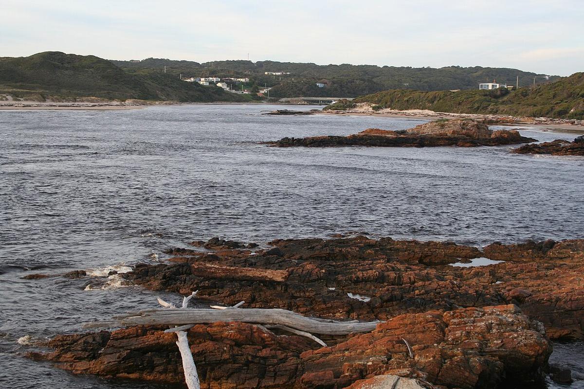
The Arthur River drains a large part of the Tarkine (takayna) in north west Tasmania and meets the Southern Ocean at the small township of Arthur River. Its lower reaches wind through rainforest and coastal scrub inside the Arthur-Pieman Conservation Area, dark with tannin and often still enough to hold a mirror image of the forest.
It is remote water. The nearest larger towns are a long drive away, and the weather arrives straight off the ocean.
Tannin-dark and slow
Water draining through button grass, peat and rainforest picks up tannin and runs the colour of strong tea. It is stained, not dirty.
That colour hides depth. Snags and submerged logs arrive with little warning, so keep your speed down near the banks and around fallen trees. On calm days the reflections are so clean that the edge of the water is hard to judge. Paddle a little wider than feels necessary.
The lower river
Above the township the Arthur runs long and broad through forest, with little development along its banks. This is the stretch most visitors see, and the one that suits an out-and-back paddle from town.
The lower river is influenced by tide and by what the sea is doing at the mouth. Work out which way the water is moving before you leave, plan to ride it on the return, and keep a margin for wind.
Tour vessels run on the lower river. Give them room, stay to the side, and be easy to see.
Stay off the mouth
The Arthur meets the open Southern Ocean on one of the most exposed coastlines in Australia. Swell, currents and breaking waves at the mouth and along the coast are serious even on days that feel mild in town. This is not packraft water in any conditions.
Turn around well upstream of the mouth, and do not let an outgoing tide or a following wind carry you towards it.
The upper river
Further upstream the Arthur runs through deep, remote country with limited access and harder water. Trips there are serious wilderness undertakings for experienced parties with the skills and gear for moving water. Check with Parks and Wildlife Service Tasmania before planning anything beyond the lower river.
Remoteness and weather
Mobile coverage is limited or absent away from the township, and help is a long way off. Weather from the west can shift fast, bringing wind, rain and cold within an hour of a calm start.
Carry a way to call for help that does not rely on mobile coverage, such as a personal locator beacon. Dress for immersion, pack a windproof layer and dry clothes, and bring enough food and water to be self-sufficient for the day.
Access and permission
The river passes through the Arthur-Pieman Conservation Area, where access rules, track conditions and closures are set by Parks and Wildlife Service Tasmania. Check current conditions, and respect cultural heritage sites along the coast and river. This is Aboriginal country with a long, living connection.
Wear a buoyancy vest, leave your trip intentions with someone, and set a time to call when you are off the water.
Where a Seeka fits
The broad, slow lower river on a settled day, launched from town and paddled as an out-and-back, is Seeka country. The mouth, the open coast and the harder water upstream are not what a Seeka is built for.