
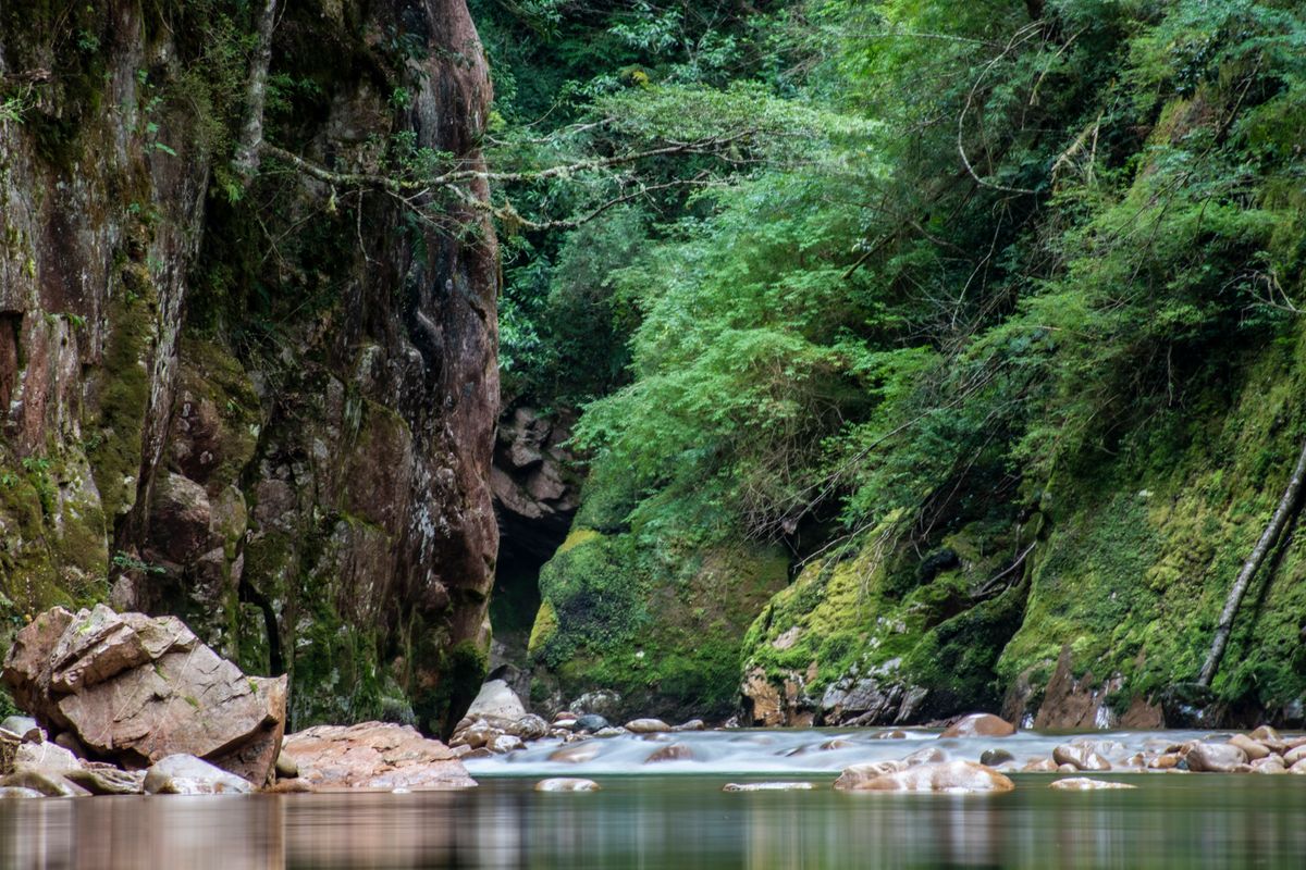
The Snowy River carries a weight that few Australian waterways do. Banjo Paterson wrote it into the national imagination, and the name still stands for something wild and remote. The real river is more complicated than the poem. The Snowy Mountains Scheme dammed its headwaters in the mid-twentieth century, and environmental releases in recent decades have put some life back into the lower reaches. The multi-day journey through Snowy River National Park in East Gippsland remains one of Victoria's great wilderness trips. It asks a great deal of anyone who takes it on.
The legend and the reality
Paterson's poem fixed the Snowy in Australian culture as a river of the high mountains, fierce and untameable. The geography is real enough. The Snowy rises in the Kosciuszko high country and runs south and east through New South Wales before crossing into Victoria and reaching the sea at Marlo on the Gippsland coast. The Scheme changed what flows through that long corridor. The dams captured the headwaters and sent the water inland for irrigation and power generation. For decades the lower river ran low and degraded. Environmental flow agreements changed the arithmetic, and the river now receives mandated releases that vary by season and year. It is still a changed river from the one Paterson imagined, but the gorge country below McKillops Bridge gives you some sense of what the original must have been.
The McKillops Bridge country
Most multi-day journeys on the lower Snowy start at McKillops Bridge, a historic crossing deep in Snowy River National Park. The drive in is long and the road is rough in places. That isolation is the point. Once you are on the water, the river moves through steep gorge walls and wide sand-bar reaches with the bush pressing in from both banks. No towns, no services, and no easy exit once the journey begins. The country shifts between tight gorge sections and more open valley floors in East Gippsland. Sand bars that form at lower flows make natural camping ground, though their position changes with each significant flood. Check Parks Victoria for any restrictions on camping locations before you go.
What the journey involves
This is a multi-day river journey and you are fully self-sufficient for the length of it. You carry everything: food, shelter, safety gear and the means to manage your own emergencies. The river includes rapids that you assess on the day. Experienced paddlers can run some at the right levels. Others you line along the bank or carry around entirely. Treat no published grade as current. The character of individual rapids changes with flow. Some reaches run between gorge walls that offer no straightforward exit if things go wrong. Sandy camps appear where the river widens, and the nights are still in a way only real remoteness produces. The journey is demanding in proportion to the country.
The level question
River level governs everything on the Snowy. Too low and the journey becomes a long exercise in dragging a laden packraft across shallow gravel. Too high and the rapids that are manageable at moderate flows turn dangerous, and the gorge sections leave no room for error. The environmental flow releases mean levels can change on a schedule as well as with rainfall. Check current gauge readings and park information before you commit to a launch date. A trip planned months ahead may need to flex around conditions on the ground. The Bureau of Meteorology and the relevant water authority publish gauge data for the lower Snowy. Learn what those numbers mean for the specific reach you intend to paddle before you put on the water.
Hazards
Remoteness is the primary hazard on the lower Snowy. There is no mobile phone coverage through most of the gorge. The walk-outs from the river to any road are long and cross demanding terrain. Carry a satellite communicator. Cold water is a serious risk outside the summer months. The river runs cold at depth even in warm weather, and a swim in a rapid has consequences that compound fast in isolated country. The gorge sections are committing. Once you enter some reaches, forward is the only practical direction. Rapids that look manageable from upstream can look very different at water level. Scout thoroughly. The penalties for getting it wrong are high when the nearest help is a very long way away.
Who should attempt it
The lower Snowy is not a river for beginners. It suits experienced parties who have completed multi-day river journeys before and who read moving water with confidence. Navigation and wilderness first-aid competence are baseline requirements, not extras. A group that has never managed its own emergencies in remote country should not choose this river to learn on. Experienced parties with the right skills and the patience to wait for suitable flow will find the journey through Snowy River National Park worth every bit of the effort. At friendly levels the gentler reaches suit a touring self-bailing packraft. The full journey belongs to experienced crews.