
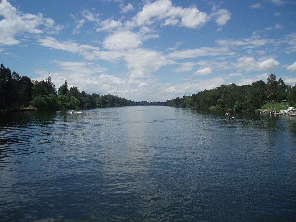
The Nepean River runs north along the western edge of Sydney, past Camden and Wallacia, through the Nepean Gorge and out past Penrith, where it widens into a broad, slow reach before becoming the Hawkesbury near Yarramundi. It is the closest big river to a lot of western Sydney, and a train ride from the city.
Most of it is regulated water. Dams and weirs shape how it flows, and that shapes where and when a packraft makes sense.
A river run by dams and weirs
The Nepean is fed by the upper Nepean dams and, below Wallacia, by the Warragamba River coming out of Lake Burragorang. WaterNSW manages releases from those storages, and after heavy rain in the catchment Warragamba can spill.
When that happens the river below the junction rises fast and stays high for days. The gorge and the Penrith reach turn brown, fast and full of debris. Check WaterNSW for current releases and dam levels before you go, and treat a spill as a reason to pick another weekend.
Weirs sit across the river at several points, including Penrith. Water pouring over a weir crest creates a recirculating stopper at the base that holds anything that drops into it. Land well above, carry around, and relaunch well below.
The Penrith reach
Around Penrith and Emu Plains the river is wide, deep and slow, with parks and reserves on both banks. It is the most straightforward stretch to paddle, with easy launches and plenty of room.
It is also busy. Rowers train here, and powered craft and water skiers use parts of the reach. Keep to the edges, stay visible, and give rowing crews space: they are moving fast and facing backwards.
The Nepean Gorge
Upstream of Penrith the river runs through a sandstone gorge with Blue Mountains National Park on the western side. The walls are steep, the bush comes down to the water, and it feels much further from the suburbs than it is.
Getting into the gorge on foot means steep tracks, and the water inside it is far from the nearest road. At normal flows it is deep and slow; after rain or a release it is neither. Check with NSW National Parks and Wildlife Service for current track access, and plan an out-and-back from the Penrith end if you are unsure of the gorge at the level on the day.
Levels and timing
In settled weather with no releases, the Penrith reach is paddleable year round. Summer brings warm water and more traffic. Winter mornings are often glassy and near empty.
After a big wet, water quality drops and debris comes down from the catchment. WaterNSW and the NSW Government also post algal bloom alerts for the river in warm, low-flow periods. Check them and skip the swim when an alert is active.
Practical notes
Much of the bank is public reserve around Penrith, but upstream of the gorge and along the southern reaches frontage is often private. Launch from public land and ask before crossing farms.
Snags collect on the outside of bends and around bridge piers after high water. Give them room.
Wear a PFD, leave your trip intentions with someone, and set a time to call when you are off the water.
Where a Seeka fits
The Penrith reach on a settled day, reached by train and a short walk, is an easy packraft outing: paddle up towards the gorge, drift back, roll it up. The Nepean in flood or during a Warragamba release is not.