
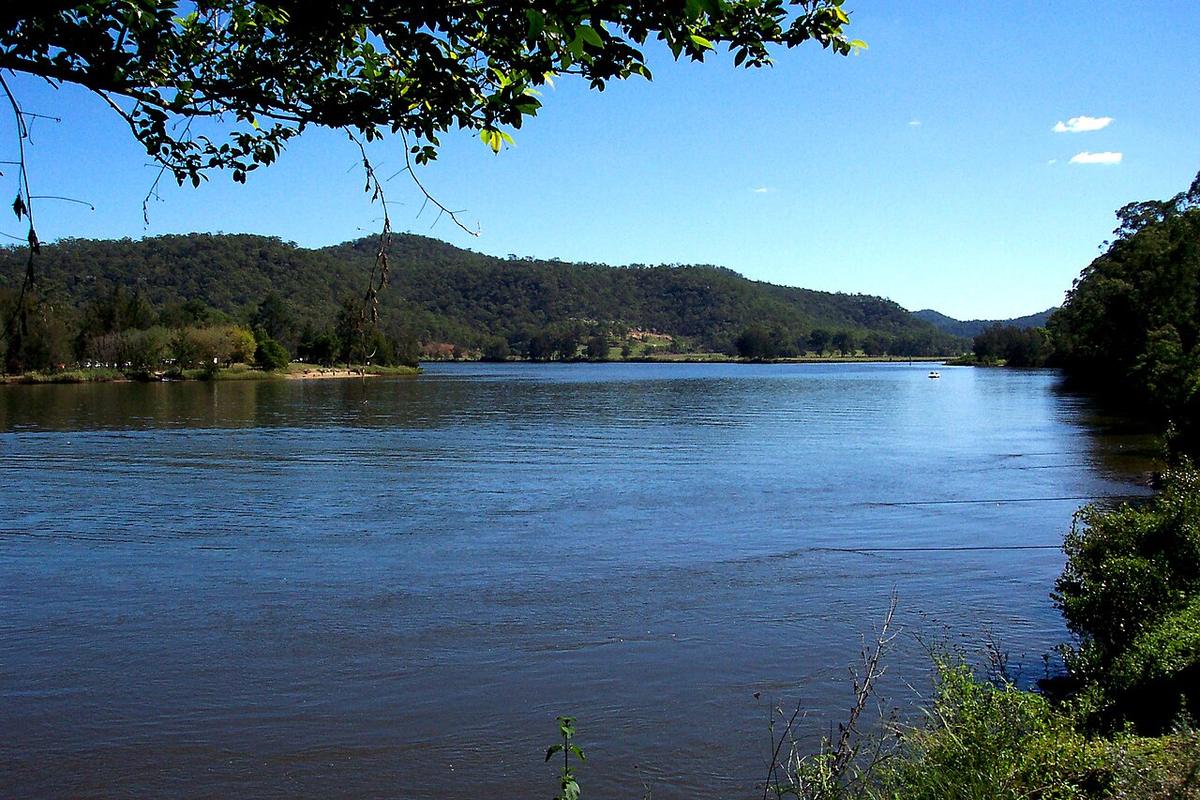
The Hawkesbury River winds through deep sandstone valleys on the northern edge of Sydney before meeting the sea at Broken Bay. For much of its length it is tidal, and the stretch from around Wisemans Ferry down to Brooklyn runs between national parks, with forested ridges on both sides and only a handful of settlements along the way.
A tidal river
The tide reaches a long way up the Hawkesbury, well past Wisemans Ferry. That means the current changes direction twice a day, and the strength of it varies with the width of the river and the size of the tide.
Paddle with the tide and the river carries you. Paddle against a big ebb in a narrow reach and you can make almost no ground. Check tide times for the part of the river you are on before you launch, and plan your return around them.
Ferries and boat traffic
Vehicle ferries cross the river at Wisemans Ferry and at other points on the Hawkesbury and its creeks, running on cables. Never paddle across the path of a moving ferry, and stay well clear of the cables, which sit close to the surface near each crossing.
The river is also busy with powered craft, water-skiers, houseboats and anglers, especially on summer weekends and holidays. Wash from larger vessels can be sizeable in a small craft. Keep near the edges, cross the channel quickly and at right angles, and wear bright colours.
Sections and access
Around Wisemans Ferry the river is broad and slow, flanked by Dharug National Park and farmland on the river flats. Public wharves, reserves and boat ramps give access.
Downstream, the river swings through a long series of bends between Marramarra, Dharug and other national parks towards Spencer and Brooklyn. Side creeks branch off into narrower, more sheltered water.
Berowra Creek runs south from the main river past Berowra Waters, and is one of the more sheltered options, with steep bushland on either side. Near Brooklyn the river widens towards Broken Bay. The bay and the open coast beyond it are not packraft water.
Much of the shoreline is national park managed by NPWS, and some of it is private. Check with NPWS for camping, landing and access, and with Transport for NSW for waterway rules and any speed zones.
Levels and timing
Heavy rain in the catchment sends brown floodwater and debris down the river, and strengthens the ebb. Give it several days to settle after a big rain event, and avoid immersion while water quality is poor.
Summer brings warm water, afternoon storms and the busiest traffic. Autumn and winter mornings are often calm and still, with far fewer craft about.
Practical notes
- Wind against tide on the wider reaches, especially towards Brooklyn, builds short, steep chop.
- Oyster leases and rocky shores are hard on fabric. Land on sand or at wharves where you can.
- Mobile coverage is patchy in the deeper valleys.
- Wear a buoyancy vest, and leave your trip intentions and a time to call with someone.
Where a Seeka fits
The sheltered side creeks and the calmer bends of the tidal river, timed with the tide on a still morning, are ideal for a Seeka. Take the train or drive to a wharf, paddle a creek, float home on the flood. Broken Bay and the open coast are not what a Seeka is built for.