
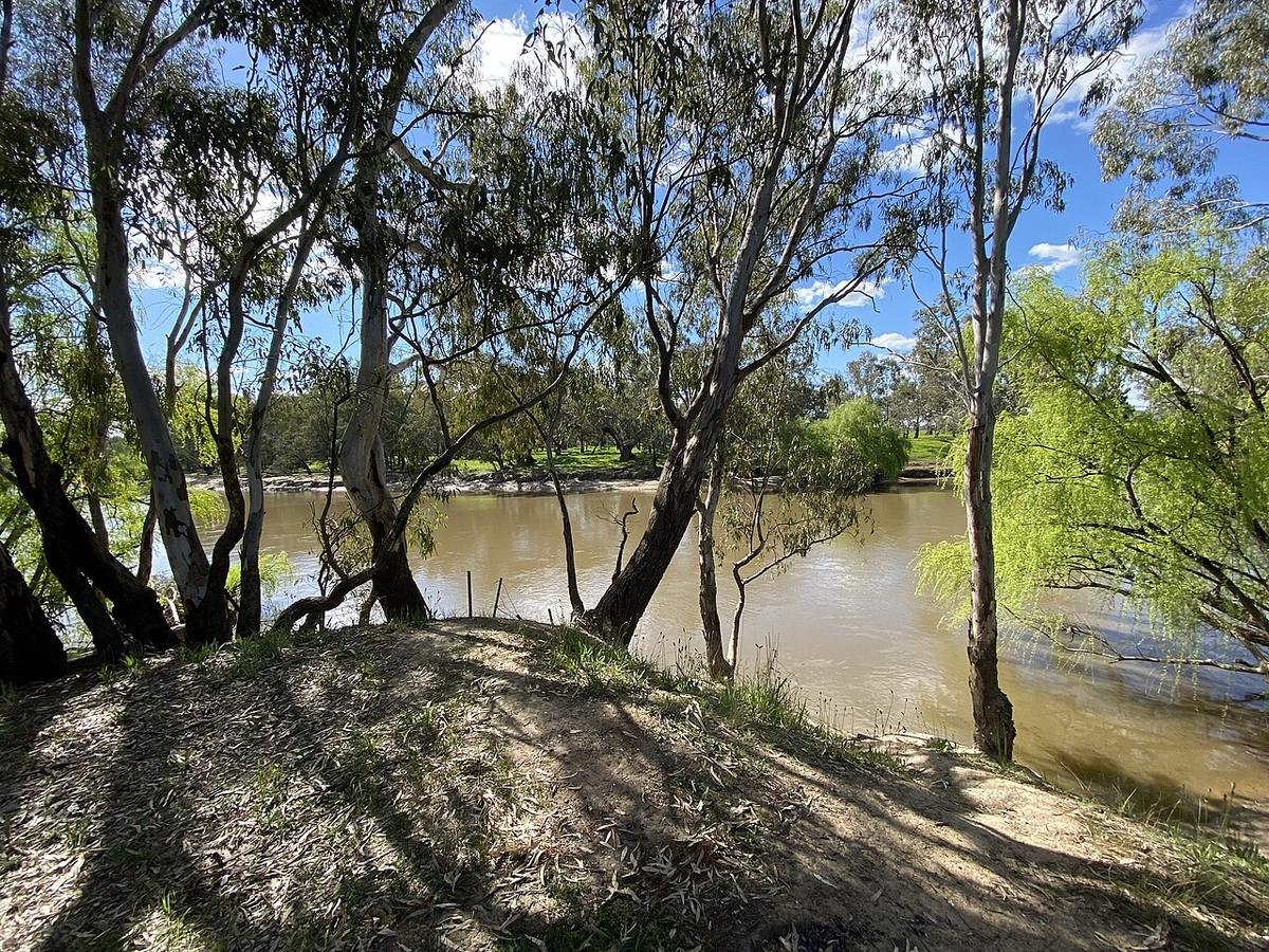
The Murrumbidgee rises in the Snowy Mountains, runs north through the Australian Capital Territory, then turns west across the Riverina towards the Murray. Few Australian rivers cross such different country in one course.
For paddlers it is really several rivers, and the one you want depends on how far downstream you go.
The corridor through Canberra
The stretch through the Australian Capital Territory is the most accessible part of the river for a day trip. It runs in a corridor of reserve between the suburbs, with river red gums, rock and long pools between shallow riffles.
Access points in the Murrumbidgee River Corridor are established and signposted, and walking tracks follow parts of it. That combination suits a packraft. Walk in on a track, paddle a section, walk out.
Check current conditions and any closures with the ACT Parks and Conservation Service. Water quality advisories go up after heavy rain and are worth reading.
Cold water from upstream
Flows in the upper river are influenced by releases from Tantangara Reservoir and by snowmelt from the mountains. Water arriving from that country is cold even when the air in Canberra is warm.
It is a real mismatch. A hot summer afternoon can sit above properly cold water. Dress for what you would be swimming in.
Levels change the character completely
At low summer levels large parts of the corridor are a chain of pools joined by shallow rocky sections, which means walking the packraft between paddles. At higher flows it moves properly and the riffles run together.
Very high flows after rain are a different river again, fast and pushy with debris on the move. That is not the time to be on it in a small craft.
Check gauge data before you go, and learn what the readings mean on your section by matching them against what you find.
Downstream, into the Riverina
West of the mountains the river slows, widens and begins to meander through farmland and floodplain. Willows line long stretches, and the current is gentle for most of the year.
This is flat, unhurried paddling with a strong sense of distance. It is also regulated water. Flows are managed for irrigation, so levels follow decisions as much as rainfall.
Access is more scattered out here and much of the frontage is private. Plan launch and exit points carefully and ask permission where you need it.
What to watch for
Willows and fallen timber. Submerged branches on the outside of bends are the usual hazard, and willows in particular form strainers that hold whatever they catch.
Weirs and structures. There are regulating structures along the river. Portage them rather than assessing them from upstream.
Fences. On rural sections, wire across the water is a real hazard and it is hard to see.
Country and care
The Murrumbidgee is significant to the Ngunnawal, Wiradjuri and other First Nations whose Country it crosses. Treat sites and river banks accordingly.
Carry out what you carry in, and clean gear between catchments so you do not move pests and disease between waterways.
Where a Seeka fits
The corridor sections and the slower reaches downstream are the water a Seeka is built for, walked in and rolled up at the end. The river in flood and fast whitewater are not.