
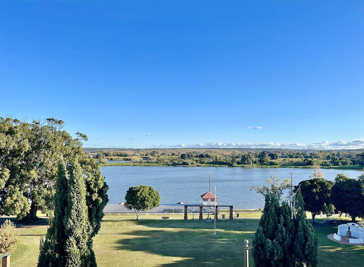
The Clarence River rises in the ranges near the Queensland border and runs south and east through the Clarence Valley to the sea at Yamba and Iluka. It is one of the largest rivers on the New South Wales coast, and it has two very different characters: remote gorge country upstream, and a broad, slow, tidal river through Grafton and the cane fields below it.
For a packraft, the choice of section decides everything. Pick the right one and it is an easy morning on wide water. Pick the wrong one and you are committed to hard country a long way from help.
A big river, two rivers
The upper Clarence and its tributaries drain rugged, thinly settled country. Here the river moves through gorges, rock gardens and long pools, with limited road access and long gaps between exits. It is serious multi-day paddling for experienced whitewater parties, and the level changes the character of it completely.
Downstream the valley opens out. Through Grafton the river is wide and slow, with parkland on the banks and towns spaced along it. Below that it braids around low islands and farmland on its way to the coast.
The lower river around Grafton
This is the accessible end. You can launch from riverside parks and reserves in and around Grafton and paddle the reaches either side of town without much planning beyond the weather.
The water is big. Even on a calm day the far bank is a long way off, and a breeze along the river raises chop quickly. Stay close to the bank you launched from and treat crossings as a decision rather than a habit.
Tide reaches a long way up the lower river. Work out which way it is running and plan to ride it home. Wind against tide makes short, steep water that is hard work in a small craft.
Traffic, timber and the bar
Powered craft and towed water sports use the lower river. Keep to the edges, wear something bright, and give the main channel a wide berth.
Snags and fallen timber collect on the outside of bends and around islands. On the upper river, rapids, undercut rock and strainers are the main dangers, and a swim a long way from a road is a real problem.
The river mouth at Yamba and Iluka is an ocean bar. Stay well away from it.
Floods and levels
The Clarence floods, sometimes heavily, and the catchment is large enough that a flood can arrive days after the rain that caused it. High water brings debris, strong eddies along the banks and a much faster river.
Check the Bureau of Meteorology river information and recent rainfall across the whole catchment, not just the weather in town. After a flood, give the river time to settle and expect new snags.
Getting on the water
Much of the frontage is private farmland. Use public reserves and established boat ramps, and ask before crossing private land. Parts of the upper catchment run through national park and state forest.
Check current access, camping and conditions with NSW National Parks and Wildlife Service and Clarence Valley Council, and boating rules with Transport for NSW.
North coast heat
Summers on the north coast are hot and humid, with afternoon storms. Start early, carry more water than you think you need, and get off the river when a storm builds.
Wear a PFD, leave your trip intentions with someone, and set a time to call when you are off the water.
Where a Seeka fits
The lower river around Grafton, paddled close to the bank on a calm morning, is good packraft water. The upper gorges, the open reaches in a blow and anywhere near the bar are not what a Seeka is built for.