
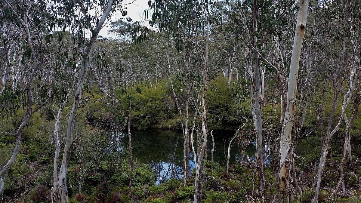
Packrafting the Barrington Tops suits paddlers who want the gentler lower reaches and flatter water of the Barrington, Gloucester and Manning rivers, carried in on foot, and who are ready for cold water and rain-fed rivers that rise fast with timber in the channel. Autumn and spring generally bring more reliable levels and settled weather. You reach the plateau from Gloucester in the east or Scone in the west, on roads that are unsealed in places, so check access and closures with the NSW National Parks and Wildlife Service and Forestry Corporation before you go.
The Barrington Tops sit inland from the mid north coast of New South Wales, a high plateau falling away into deep forested valleys. The Barrington, Gloucester and Manning rivers all draw from it.
It is high country in a part of the state most people think of as subtropical, and the difference catches paddlers out.
What the water is like
These are rain-fed rivers off a plateau. They rise fast after heavy rain and drop away again over days. The same stretch can be a clean flowing paddle one week and a boulder walk the next.
The upper sections run through steep forested country with rock, timber in the channel and limited access. Lower down, past Gloucester and towards the coastal floodplain, the gradient eases and the river opens into farmland.
Grades vary by section and by level, and both change. Do not take a grade from one trip report as fixed. Read the water in front of you.
Getting there and getting on
You reach the plateau from Gloucester on the eastern side or from Scone in the west. Roads onto the tops are unsealed in places and some need care after rain.
Barrington Tops National Park and the surrounding state forests are managed separately, with different rules on access, camping and vehicles. Some roads close seasonally. Check current conditions and any closures with the NSW National Parks and Wildlife Service and Forestry Corporation before you commit to a plan.
River frontage through the valleys is often private land. Water access does not carry a right to cross a paddock. Ask.
Cold is the underrated hazard
The plateau reaches true alpine conditions. Snow falls up there in winter, and it can be near freezing on the tops while the coast is mild. Water coming off it stays cold well into the warmer months.
Dress for the water, not the forecast for Gloucester. A cold swim in a steep valley with a long walk out is a serious situation.
What to watch for
Strainers. These valleys drop timber into the channel regularly, and after a flood the picture changes completely. Fallen trees that let water through and stop everything else are the hazard that matters most here.
Rising water. A catchment this steep responds fast. Rain upstream reaches you before the sky above you changes.
Limited exits. In the upper valleys the sides are steep and forested. Know where you can climb out and roughly how far you would be walking.
When to go
Autumn and spring generally bring more reliable levels and settled weather. Summer storms can produce sudden rises. Winter on the tops is cold enough to plan around seriously.
Check the Bureau of Meteorology forecast and any available river gauges. A gauge reading means nothing until you have matched it against conditions you have seen with your own eyes.
Leaving no trace
Much of this country is Gondwana rainforest with World Heritage listing. It carries plant disease risk, so cleaning boots and gear between catchments is not a formality.
Camp where you are permitted to camp, carry out everything you carry in, and give the river banks a wide berth where they are eroding.
Where a Seeka fits
The gentler lower sections and the flatter reaches, carried in on foot, are the water a Seeka is built for. The steep upper valleys after rain are not. A Seeka is not a whitewater craft, and this is country where the water can turn into exactly that with little warning.