
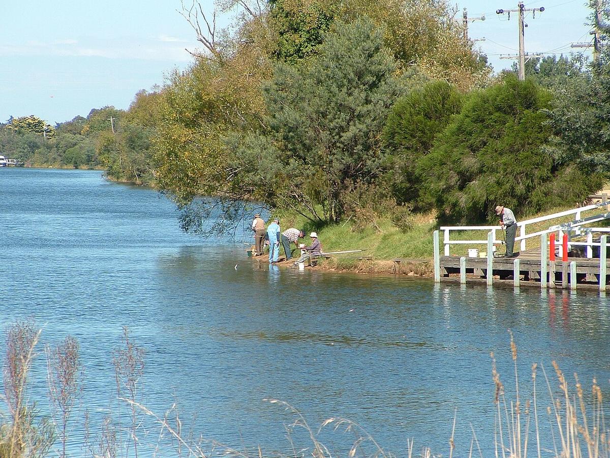
The Mitchell River runs out of the Victorian high country in East Gippsland, cuts a deep gorge through Mitchell River National Park, then crosses the river flats past Lindenow to Bairnsdale and on into Lake King. Above the park it is formed where the Wonnangatta and Dargo rivers meet.
It is two rivers in one. The gorge is remote whitewater country. The lower river through Bairnsdale is broad, slow and easy to reach.
The gorge in the national park
Through Mitchell River National Park the river runs between steep forested walls and sandstone cliffs, over rock bars, rapids and long pools. Road access is limited and the exits are few, so a trip through the gorge is a committed, multi-day undertaking for experienced whitewater paddlers.
Walking tracks follow parts of the river and give a good look at the gorge from above and from the banks. Park camping areas and track access change with conditions. Check with Parks Victoria before you plan anything in the park.
The Den of Nargun
The Den of Nargun is a rock shelter behind a small waterfall on Woolshed Creek, a short walk from the Mitchell. It is a place of deep significance to the Gunaikurnai people, associated with women and with stories that are theirs to tell.
Parks Victoria asks visitors to respect that. Follow the signs and current guidance on the walk in, and do not enter the Den.
The lower river to Bairnsdale
Below the park the valley opens onto farmland and vegetable-growing flats. The river slows and widens as it approaches Bairnsdale, where there is parkland along the banks and easy access from town.
Downstream of Bairnsdale the Mitchell runs out towards Eagle Point and enters Lake King between long silt jetties, banks of river sediment that reach well out into the lake. The lake end brings wind and boat traffic into the picture, so treat it as open water rather than river.
Rain in the high country
The catchment is large and reaches into the alps. Heavy rain up high lifts the river, and a rise can reach the lower river well after the rain has cleared. Flood history on the Mitchell is real, and high water through the gorge is dangerous.
Check river levels and recent catchment rainfall on the Bureau of Meteorology and Victorian water monitoring data before any trip, and pick a calm, settled day for the lower river.
Timber, rock and wind
Fallen timber and willows on the lower river, especially on the outside of bends. Rapids, undercut rock and cold water in the gorge. Afternoon wind once you reach the lake. Limited phone coverage inside the park.
Much of the frontage below the park is private farmland. Use public access points and ask before crossing private land.
Wear a PFD, leave your trip intentions with someone, and set a time to call when you are off the water.
Where a Seeka fits
The slow reaches around Bairnsdale on a calm day, perhaps paired with a walk into the national park on foot, suit a packraft well. The gorge itself is whitewater, and not what a Seeka is built for.