
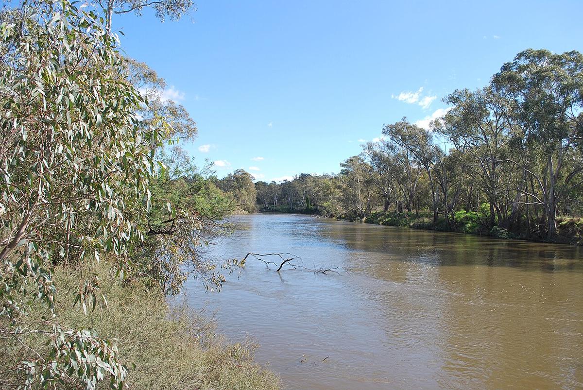
The Goulburn River is the longest river wholly in Victoria. Below Lake Eildon it runs west past Thornton and Alexandra, then north through Seymour and on towards Shepparton and the Murray. This guide covers the reaches below the dam, where the river is shaped by releases from Eildon as much as by rain.
It is a regulated river. What you paddle on any given day depends on how much water Goulburn-Murray Water is letting out of the lake.
Cold, clear dam water
Water leaving Lake Eildon comes from deep in the storage, so the river below the dam stays cold through summer. On a 35-degree day the air is no guide to what a swim would feel like.
That cold water is also why the river below Eildon is known as trout water. Expect to share the banks with anglers, and give them room.
Releases change the river
Flows below the dam rise and fall with irrigation demand and storage management. In summer and autumn releases can be high for weeks. At other times the river drops back and the gravel bars and snags show.
A change in release can alter the river within hours of your put-in. Check current and planned releases with Goulburn-Murray Water and the Victorian water monitoring data before you go, and again on the morning.
Snags and willows
Fallen river red gums and willow thickets are the main hazard on the Goulburn. Water runs through them and a packraft does not.
They collect on the outside of bends, where the current pushes you. Keep to the inside of bends, look well ahead, and pull over early when you cannot see a clear line. Higher releases make every snag more dangerous, because there is less time to react and more push against you.
Eildon to Seymour
Between Eildon and Thornton the river runs through a narrow valley close to the dam, cold and often fast when releases are up. Around Thornton and Alexandra it winds through farmland and river flats, with the Acheron joining nearby.
Further downstream, the reaches around Seymour are broader and slower, with river red gums lining the banks and access from parks and reserves in town.
Much of the frontage is private farmland, although Crown land runs along parts of the river. Use established access points, respect fences, and check with Parks Victoria and the local councils for current access.
Seasons and flows
Spring can bring natural high flows on top of releases, particularly after rain in the upper catchment and on the Acheron and other tributaries. Late autumn and winter often see lower releases and a slower river.
The best days are usually moderate flows with clear visibility of the banks. If the water is brown, fast and carrying debris, come back another day.
Before you launch
Carry a spare warm layer in a dry bag even in summer. Plan a shuttle or a walk-out, because paddling back upstream against release flows is rarely practical.
Wear a PFD, tell someone your plan, and set a time to call when you are off the water.
Where a Seeka fits
The slower reaches around Alexandra and Seymour at moderate flows are a good day in a packraft. High releases close under the dam, and any reach where the snags come faster than you can read them, are not what a Seeka is built for.