
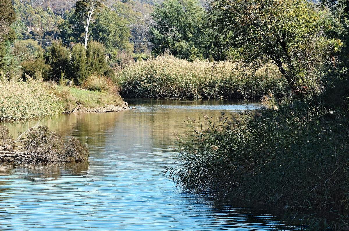
The Mersey River runs from the Central Highlands of Tasmania north through Mole Creek country and Latrobe to Bass Strait at Devonport. It changes from a mountain river in its upper reaches to a slow, tidal estuary in its last stretch to the sea.
For a packraft, the lower river around Latrobe and the estuary above Devonport are the parts that make sense. The upper Mersey is a different river in almost every way.
A regulated river
The upper Mersey is part of a Hydro Tasmania power scheme, with storages and power stations in the high country. Flows below those storages depend partly on releases, not just on rain.
Releases can raise the river quickly and with little warning at the water. Before any trip on the middle or upper river, check Hydro Tasmania for published release and flow information and have a plan for water coming up while you are on it.
The upper river is whitewater
Above the farmland, the Mersey runs through steep forested valleys with rapids, and it is known as a whitewater river when water is released. That section is for experienced whitewater paddlers in craft built for it.
Treat anything upstream of the flat farmland reaches as out of scope unless you have the skills and local knowledge to judge it yourself.
Latrobe and the lower river
Around Latrobe the Mersey is broad and slow, lined with reeds and willows, with parkland along the banks at Bells Parade. It is a pleasant place to put in, paddle a loop or drift a short way, and get out without a long shuttle.
Willows and fallen timber are the main hazards here. Water flows through them. A packraft does not. Give strainers plenty of room, particularly on the outside of bends.
The estuary at Devonport
Below Latrobe the river becomes tidal and widens towards Devonport. Tide and wind matter more than current in this stretch.
Devonport is a working port. The Bass Strait passenger ferries and cargo ships turn and berth in the river mouth, and they cannot stop or steer around you. Stay well clear of the shipping area and the berths, and keep out of the channel entirely near the mouth. The mouth and Mersey Bluff face open Bass Strait and are not packraft water.
Levels and timing
Winter and spring bring higher natural flows. Summer usually leaves the lower river gentle, though releases upstream still affect it. Check recent rainfall, available gauge data and Hydro information before you go.
On the estuary, time your paddle with the tide and start early before the afternoon breeze picks up.
Practical notes
Much of the river frontage is private farmland. Use public reserves and established access points, and check current access with Latrobe Council, Devonport City Council or Kentish Council as relevant.
The water is cold for most of the year. Wear a buoyancy vest and tell someone your plan and a time you will be off the water.
Where a Seeka fits
The slow reaches around Latrobe and the sheltered upper estuary are good Seeka water: easy access, short paddles, no shuttle needed. The released whitewater upstream and the port and river mouth are not what a Seeka is built for.