
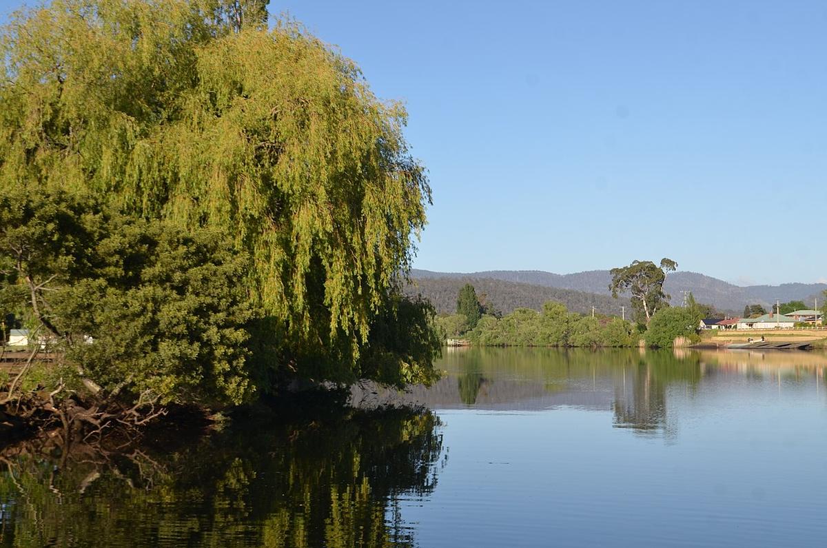
The Derwent River flows out of Lake St Clair in Tasmania's Central Highlands and runs south east through the Derwent Valley to New Norfolk, where it slows and widens into the long estuary that carries it past Hobart to Storm Bay. It is two rivers in one: a hydro-managed inland river in the upper valley, and a broad tidal waterway at the city end.
For a packraft, the useful water sits around New Norfolk and on the sheltered edges of the estuary. Both are close to roads, towns and help.
A river run by the dams
Hydro Tasmania operates a chain of dams and power stations on the upper Derwent and its tributaries, down to Meadowbank above New Norfolk. What comes down the river on any given day depends heavily on releases from those stations, not only on rain.
That changes how you plan. A reach that is slow and friendly in the morning can rise and speed up when a station starts generating. Stay well clear of dams, intakes, spillways and tailraces, and check Hydro Tasmania's public information on water levels and releases before you go.
The upper valley
Between the dams and New Norfolk the Derwent runs through farmland and hop country, with willows lining long stretches of bank. The water moves steadily and carries cold off the highlands for much of the year.
Willows and fallen timber are the hazards here. Current pushes a small craft into overhanging branches on the outside of bends, and strainers sit where you least want them. Keep to the inside of bends, look ahead, and land to scout when you cannot see around a corner.
New Norfolk and the estuary
At New Norfolk the river turns calm and reflective, with an esplanade and public foreshore close to town. It is a comfortable place for a first paddle: short trips up and down the reach, with the bank never far away.
Below the town the estuary widens steadily towards Hobart. Tide, wind and traffic take over from current. The lower estuary carries shipping, ferries, rowing crews, yachts and powered craft, and it gets wide enough for real waves when the wind picks up. Keep to the edges, stay out of channels, and be visible.
Wind and weather
Southern Tasmania's weather turns quickly. Afternoon wind is common on the estuary, and a northerly or westerly blowing against the tide builds short, steep chop. Check the marine forecast, not only the land forecast, and plan the long leg for the calm part of the day.
The water is cold for most of the year. Dress for a swim, carry a windproof layer, and seal a dry set of clothes in a dry bag.
Access and water quality
Public foreshore reserves around New Norfolk and along the estuary give easy launches. Much of the upper valley frontage is private farmland, so use public access points and ask before crossing private land. For reserves and river access, check with Parks and Wildlife Service Tasmania and the local council.
The estuary has a long industrial history, and there is standing public health advice about eating shellfish from it. Check current advice from the Tasmanian Department of Health before you fish or forage.
Practical notes
Check releases, tide and wind the night before, and again in the morning. Wear a buoyancy vest, leave your trip intentions with someone, and set a time to call when you are off the water.
Where a Seeka fits
The calm reach around New Norfolk and the sheltered edges of the estuary on a still morning are good Seeka days. The open estuary in wind, the reaches below the dams during releases, and anything approaching whitewater are not what a Seeka is built for.