
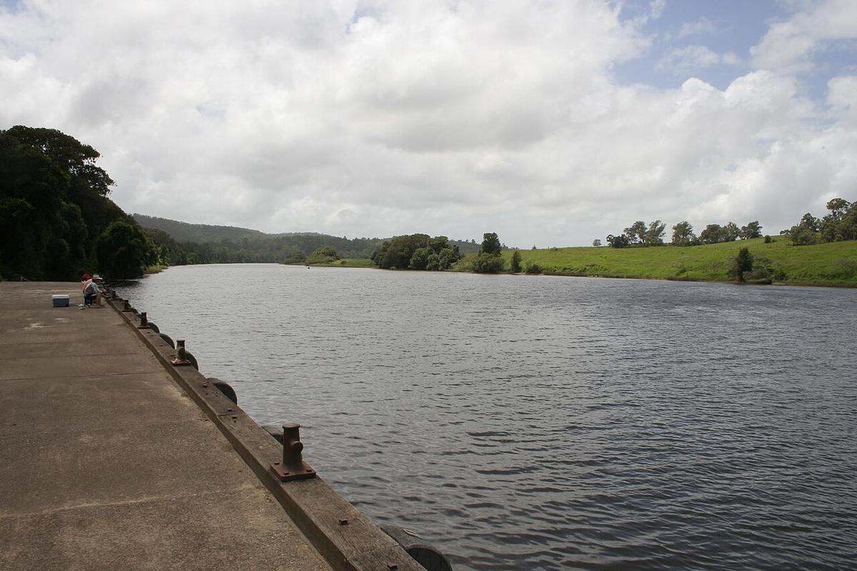
The Manning River rises in the Barrington Tops and runs east through Wingham and Taree to the coast on the NSW Mid North Coast. Below Taree it splits into a double delta and meets the sea at two separate entrances, one at Harrington and one at Old Bar.
That makes the lower Manning a maze of channels, islands and farmland, and the tidal river above it one of the longer stretches of easy water on this part of the coast.
A river with two mouths
Below Taree the river divides around low, farmed islands, including Oxley Island and Mitchells Island. The northern arm reaches the sea at Harrington; the southern arm runs out through Farquhar Inlet near Old Bar.
The channels between the islands are sheltered and flat, with mangroves, oyster leases and cattle country along the banks. It is easy to spend a day here without seeing much traffic.
Keep off both entrances
The entrances are no place for a packraft. At Harrington the tide runs hard along the breakwall and swell breaks across the bar. Farquhar Inlet opens and closes with the sand, and its channel and bar change with every big sea.
An outgoing tide in the lower delta runs towards those entrances. Know where you are, stay well upstream of the mouths, and turn around early rather than late.
Taree and Wingham
Through Taree the river is wide and tidal, with public reserves, ramps and wharves along the banks. Upstream towards Wingham it narrows between higher banks and farmland, and the tide still reaches a long way up.
Wingham has a riverside wharf and reserve beside the rainforest remnant of Wingham Brush, which makes a good start or finish. Above Wingham the river becomes freshwater, with gravel runs and rapids that change with the level. Check current conditions locally before heading onto the upper river.
Levels and timing
The Manning drains a big, steep catchment. Heavy rain in the Barrington Tops brings floods down fast, and the lower river stays brown and full of debris for days afterwards.
In settled weather the tidal river is paddleable all year. Summer afternoons often bring a north-easterly up the wider reaches. Mornings are usually calmer.
Tide runs through the whole lower river. Check a tide table and plan to travel with it.
Practical notes
Much of the river frontage is private farmland. Use public reserves and ramps, and ask before crossing private land. MidCoast Council manages many of the riverside reserves; check with them for access, and with NSW National Parks and Wildlife Service where the lower river meets reserve land near the coast.
Oyster leases cover parts of the lower river. Stay clear of racks and markers, which can sit just under the surface at high tide.
Wear a PFD, leave your trip intentions with someone, and set a time to call when you are off the water.
Where a Seeka fits
The tidal river between Wingham and Taree, and the sheltered channels of the delta, are packraft country: flat water, easy launches, a whole day on the tide. The entrances at Harrington and Old Bar, and the open coast beyond them, are not.