
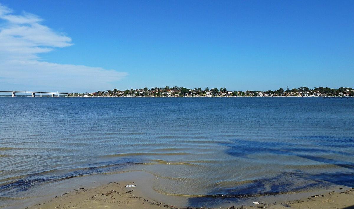
The Georges River rises near Appin, runs north through Campbelltown and Liverpool, then turns east through south-west Sydney to Botany Bay. Below the weir at Liverpool it is tidal, and through its middle reaches it is lined by the bushland of Georges River National Park.
It is a suburban river with a surprising amount of green along it, and most of the paddling is on tidal water.
Tidal from Liverpool down
The weir at Liverpool marks the upper limit of the tide. Below it the river is brackish, with mangroves, mudflats and sandstone bluffs that get wider and more open the closer you get to the bay.
Tide sets the day. On an ebb the water runs towards Botany Bay; on a flood it runs back up. Check a tide table, plan to paddle out on one and back on the other, and expect the flats in the side bays to go dry at low water.
Georges River National Park
The national park protects a string of bushland reserves along the river in the Picnic Point, Revesby and Lugarno area. Picnic areas and reserves along this section give you shore access, with sandstone and eucalypt forest rising behind the banks.
This middle stretch is the one most packrafters will want: long, wide reaches with bush on at least one side and places to pull out for lunch. Check with NSW National Parks and Wildlife Service for current access points, facilities and any fees.
Sharing a busy estuary
The lower Georges is a powerboat river. Water skiers, wakeboarders, fishing craft and cruisers use the wider reaches, especially on warm weekends. Wash from a passing wake is the main thing you will be dealing with.
Stay close to the bank, cross the channel at right angles and quickly, and keep well clear of marked ski areas. Bright colours and a flag on your pack help you be seen at water level.
Wind and the lower river
Below Como and the Woronora junction the river opens right out towards Botany Bay. Wind has a long run here, and a north-easter or southerly against the tide stands up short, steep chop.
Paddle early, turn back before the wide lower reaches if the wind is building, and leave the bay itself to bigger craft.
Practical notes
Water quality drops after rain as stormwater drains in from the suburbs. The NSW Government Beachwatch program posts water quality forecasts for swimming sites around Sydney. Check it and give the water a day or two after heavy rain.
Above Liverpool the freshwater river is narrower and snaggier, with weirs and fallen timber. Portage weirs well wide of the crest and the stopper at their base.
Wear a PFD, leave your trip intentions with someone, and set a time to call when you are off the water.
Where a Seeka fits
The tidal reaches through the national park, timed with the tide on a calm morning, are good packraft water close to home. Train or bus to a reserve, paddle a few bends, roll it up. The open lower estuary in a blow, and Botany Bay, are not what a Seeka is built for.